


Drone surveys in Chester: roof surveys and inspections across Cheshire West
Drone roof surveys, building inspections, thermal surveys and measured surveys across Chester and Cheshire West, from the historic centre to Ellesmere Port.
Chester is about 25 miles from our head office in Speke, so it’s one of the areas we cover most often. We handle the airspace permissions, fly the site and deliver everything to your online portal.
Drone surveys across Chester and Cheshire West
The historic city, its suburbs and the towns of Cheshire West.
Chester’s centre is one of the most historic in the country: the city walls, the Rows and hundreds of listed buildings inside a conservation area. Putting scaffolding up on these buildings is slow, expensive and sometimes not allowed. A drone records roofs, chimneys and high-level stonework in a single visit, with nothing touching the building.
Beyond the walls we survey housing estates, schools, business parks and industrial sites across Cheshire West, from Ellesmere Port to Northwich, as well as homes and farms in the surrounding villages.
- City centreThe walls, the Rows and listed buildings
- Hoole & NewtonVictorian terraces and housing
- Handbridge & Curzon ParkPeriod homes south of the Dee
- Blacon & UptonHousing estates and schools
- Chester Business ParkOffices and commercial units
- Saltney & BroughtonHousing and industry on the Welsh border
- Ellesmere PortIndustrial sites, housing and retail
- Frodsham & HelsbyTowns and rural properties
- NorthwichTown centre, housing and industry
- TarporleyVillage, farms and country homes
Listed building or conservation area? Drone surveys are ideal for heritage buildings: no fixings, no scaffolding and a full photographic record. See church and heritage roof surveys.
What we survey in Chester
Every service we offer is available in Chester. These are the ones Chester clients book most.
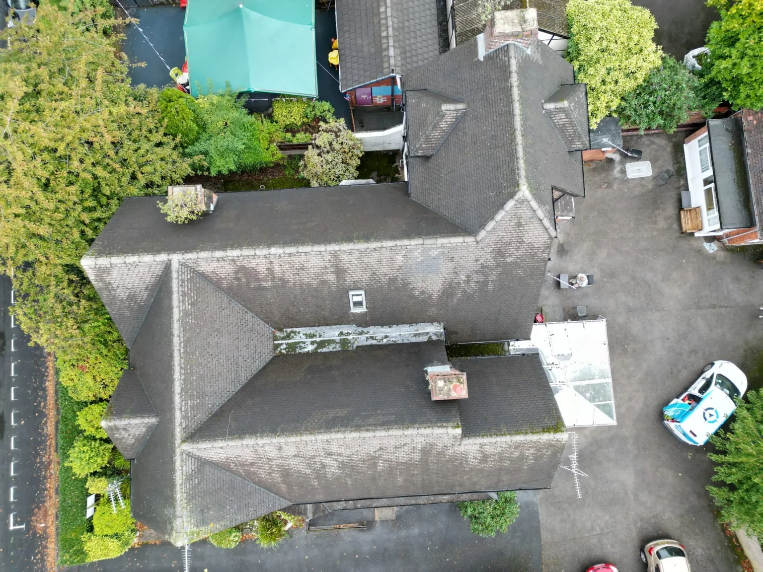
Roof surveys
Close-up imagery of every slope, valley, flashing and gutter on pitched and flat roofs, with an optional written condition report.
Terraces, blocks of flats, commercial roofsRoof surveys in Chester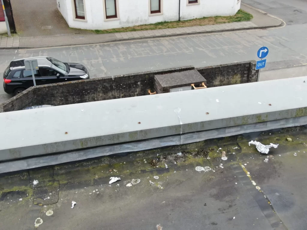
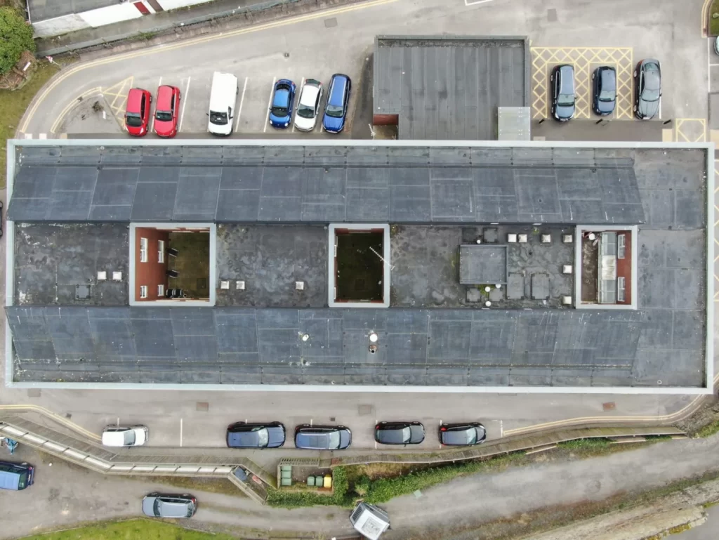
Building surveys
Façades, parapets and high-level details captured from the air to support your survey, with no scaffold or cherry picker.
Surveyors, managing agentsBuilding surveys in Chester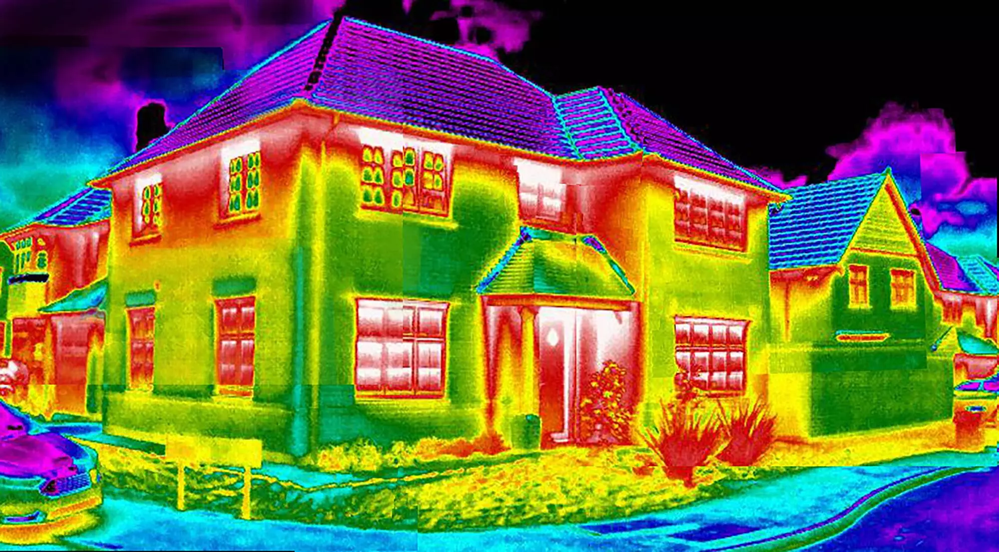
Thermal surveys
Radiometric thermal imaging to find heat loss, missing insulation, damp and roof leaks. Best carried out between October and March.
Retrofit, social housing, commercialThermal surveys in Chester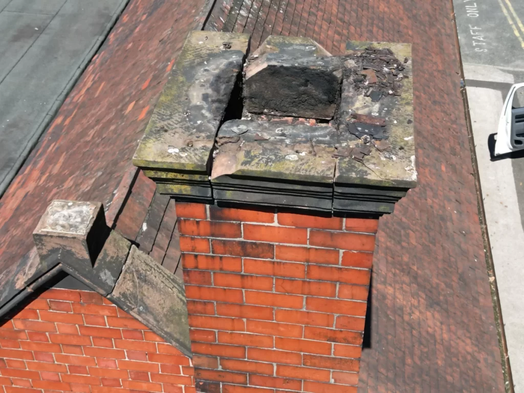
Drone inspections
Live-streamed inspections of roofs, chimneys, towers and structures. Direct the pilot and look at the areas that matter to you.
Asset and facilities managersDrone inspections in Chester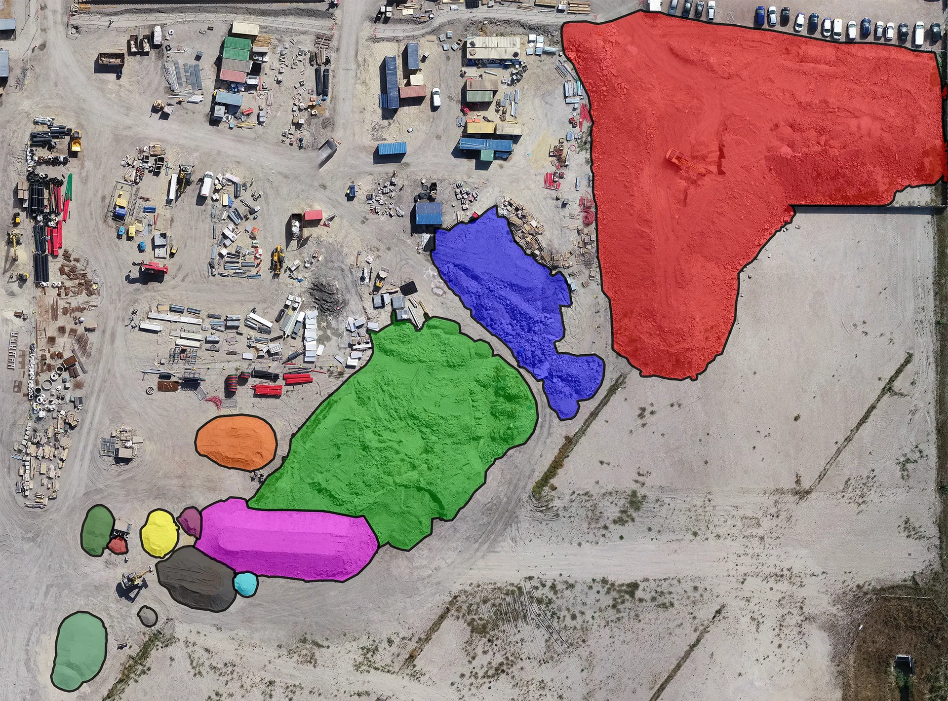
Measured surveys
Point clouds, elevations, CAD drawings and Revit models from drone photogrammetry and LiDAR.
Architects, designers, developersMeasured surveys in Chester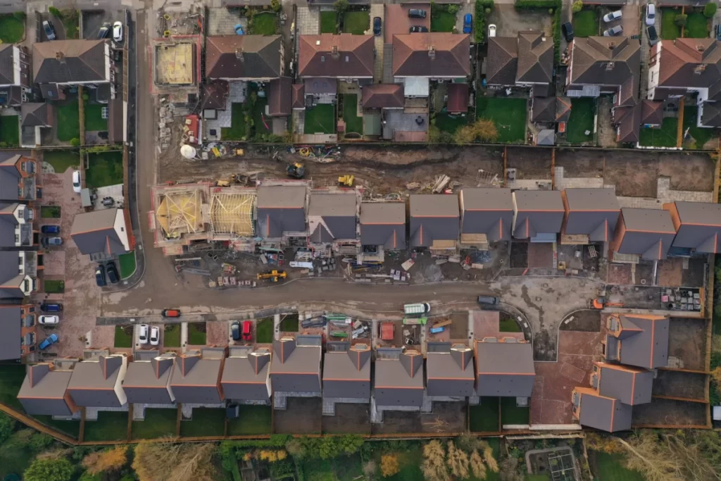
Construction progress
Regular aerial photography, mapping and time lapse to record progress on Chester construction sites.
Contractors, developers, fundersConstruction progress in ChesterFlying in Chester: the airspace we plan around
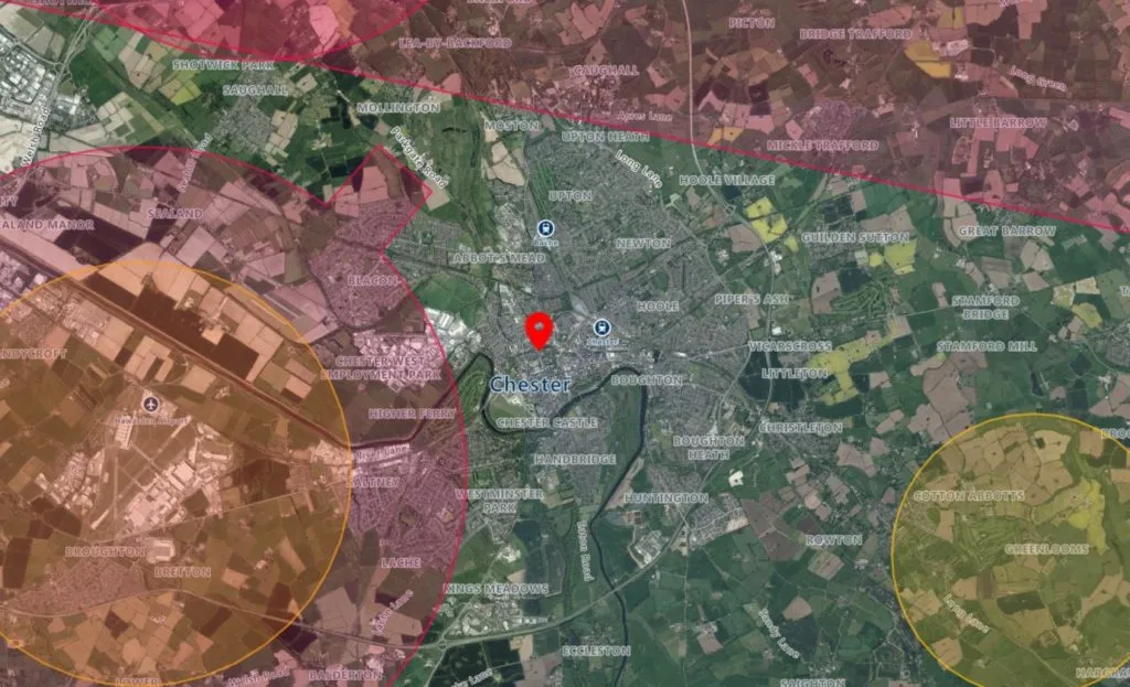
Chester sits between several restricted areas. These are the checks we make for every Chester address before we quote.
Hawarden Airport
Hawarden Airport, just west of the city at Broughton, has a Flight Restriction Zone that covers the western side of Chester. Flights inside it need permission, which we arrange before the survey date.
Liverpool controlled airspace
Controlled airspace around Liverpool John Lennon Airport reaches towards Chester from the north east. We check every site against it.
Capenhurst
The nuclear site at Capenhurst, north west of the city, has restricted airspace around it. Nearby sites need extra planning.
Rail lines and Chester station
Lines to Crewe, Warrington, the Wirral and North Wales all meet at Chester. Network Rail has its own rules for drones near its property, on top of CAA rules.
The historic centre
Busy streets, the walls and the Rows mean city-centre flights need careful planning: take-off spots, landowner permissions and timing to keep the public safe.
Restricted doesn’t mean impossible
Restricted zones need more planning and the right permissions. They don’t stop a survey going ahead. Our pilots and office team work together to get approval for even the trickiest Chester sites.
- Airspace checked for every address before we quote
- Permissions requested on your behalf
- Risk assessment and method statement (RAMS) for every job
- Weather planned in, including thermal survey conditions
From address to results in four steps
- 1Send us the address
Tell us where the site is and what you need, using the quote form or by phone.
- 2We assess it remotely
Free desk-based check of airspace, access and the best capture method. Fixed quote usually the same working day.
- 3We get the permissions
Air traffic control, landowner and site permissions arranged, plus RAMS for your site team.
- 4We fly and deliver
Survey carried out on the agreed date. Images in your secure portal within 48 hours, reports to follow.
Watch the inspection live
We can live-stream the flight so you and your team can see the inspection as it happens, talk to the pilot and ask for a closer look at specific areas, without travelling to site.
Mapping and surveyor support
As well as imagery and reports, we produce maps, 3D models, point clouds and internal and external scans, so surveyors can measure and report on Chester assets with fewer site visits.
Other areas near Chester
We also have local pages for these nearby towns and cities. Distances are approximate, by road from Chester.
Do you cover all of Cheshire West?
Yes. As well as Chester, we survey Ellesmere Port, Northwich, Frodsham, Helsby, Tarporley and the villages in between, and across the border into Flintshire and Wrexham. Send us the address and we’ll confirm.
Can you fly over Chester’s historic centre?
Yes, with the right planning. City-centre flights need landowner permission for take-off and landing, a safe area kept clear of the public, and checks against nearby restricted airspace. We arrange all of this before the survey date.
Is my site too close to Hawarden Airport?
Probably not. Sites inside the Hawarden Flight Restriction Zone need permission, which we request for you. We check every address before we quote, so you’ll know about any restrictions up front.
Can you survey a listed building?
Yes. A drone survey doesn’t touch the building, so it’s well suited to listed buildings and conservation areas. You get detailed images of roofs, chimneys and stonework for your surveyor, architect or conservation officer.
How much does a drone roof survey in Chester cost?
Our drone roof inspections start from £250 + VAT for domestic properties and £350 + VAT for commercial properties, the same as anywhere else we cover. Larger sites and portfolios are quoted individually. See our drone survey prices.
Do I need to be on site for the survey?
Not usually. For most surveys we only need permission to access the area we fly from. If you’d like to see the inspection, we can live-stream it so you can watch remotely and direct the pilot.