


Aerial photography & video
Striking drone photography and 4K video of your property, site or project, from the angles you want, anywhere in the UK.
Available Files: 4K Photography & Video
4K
Imagery & Video
None
Access Required
48hr
Imagery Delivery
0
Days of Scaffold
Drone Aerial Photography
Looking for aerial photography or video of your property? Our pilots capture footage from the air using the latest drone technology, from the angles you want, in UHD 4K.
We’re based in Liverpool, but we travel across the UK. Whether it’s for TV, advertising, property marketing, construction or simply capturing your space from a new perspective, we can capture what you need.
Every flight is planned around the airspace and location, and flown by CAA approved, fully insured pilots.
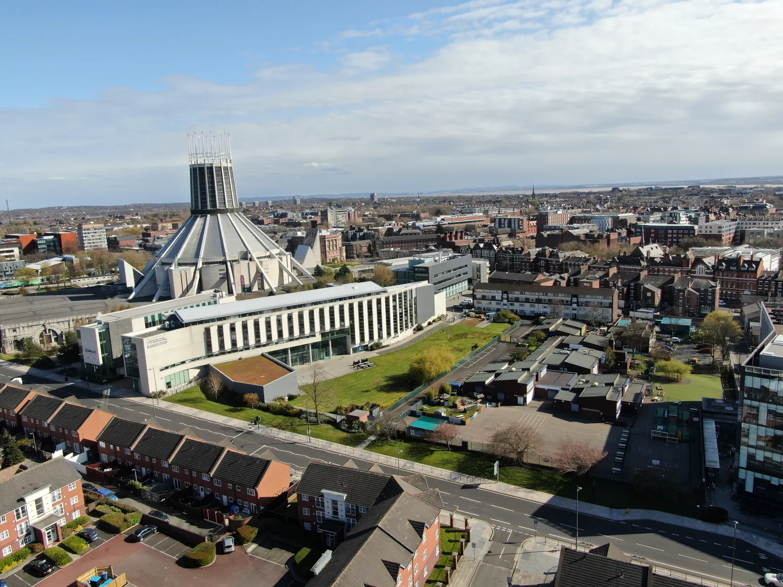
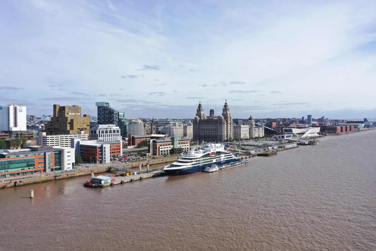
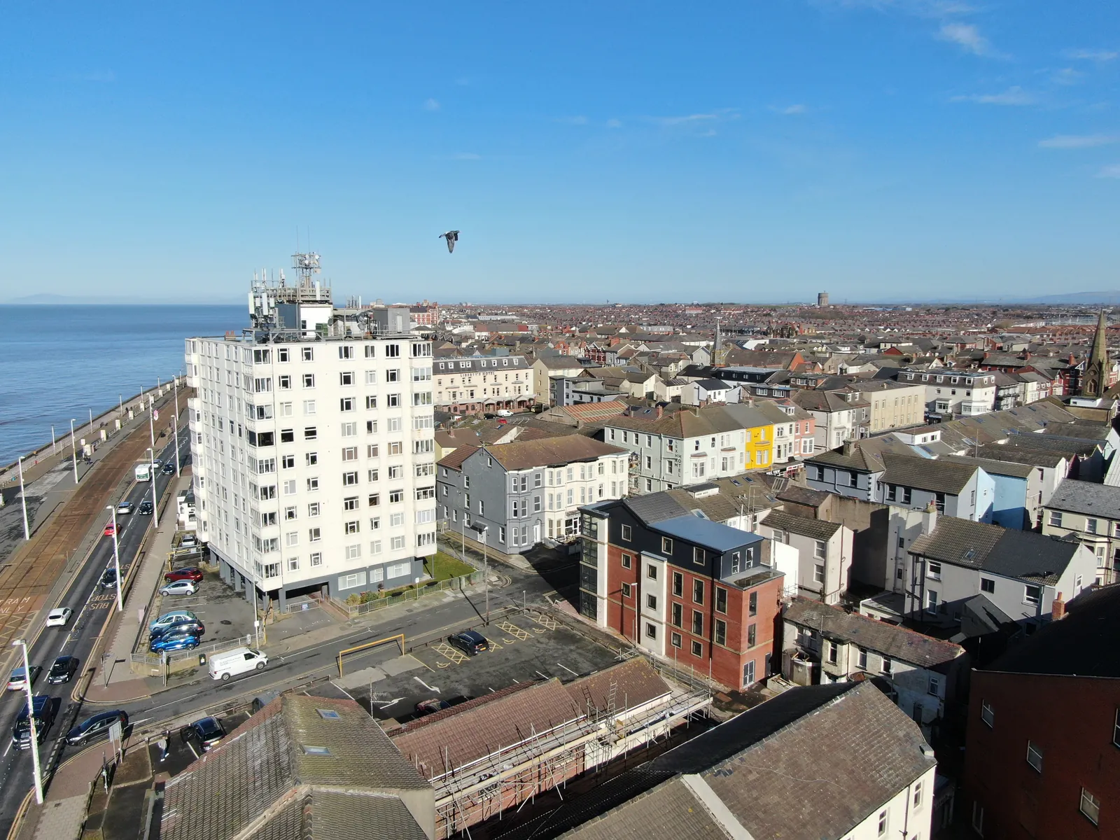
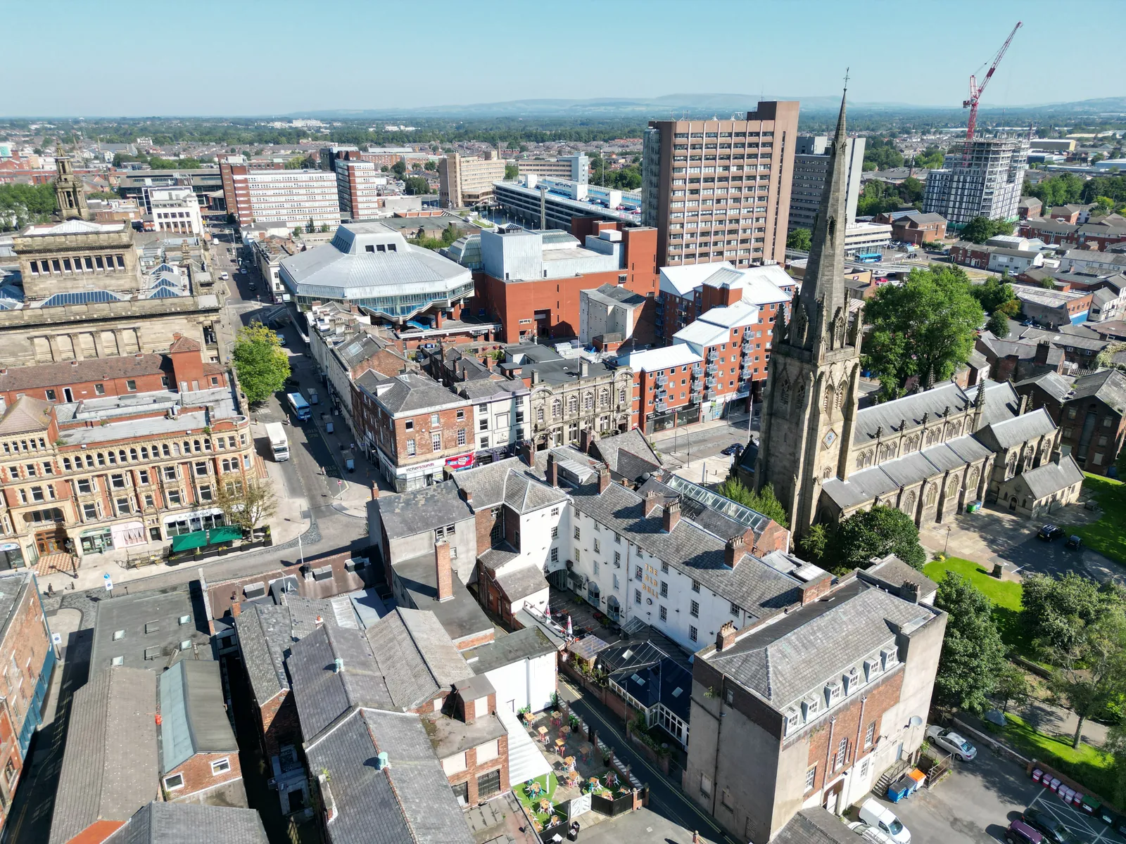
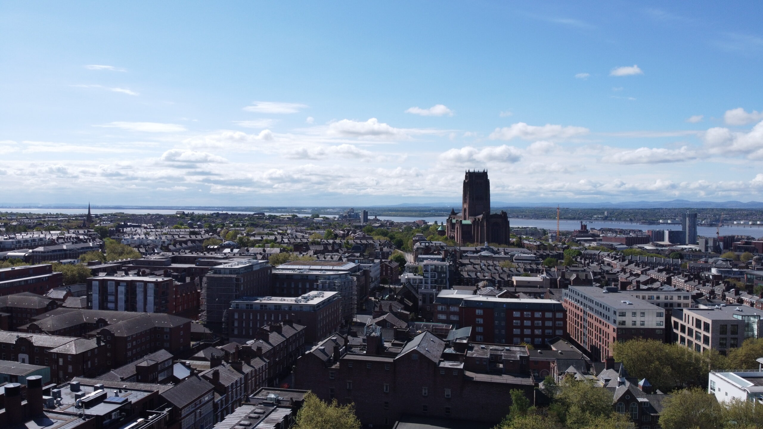
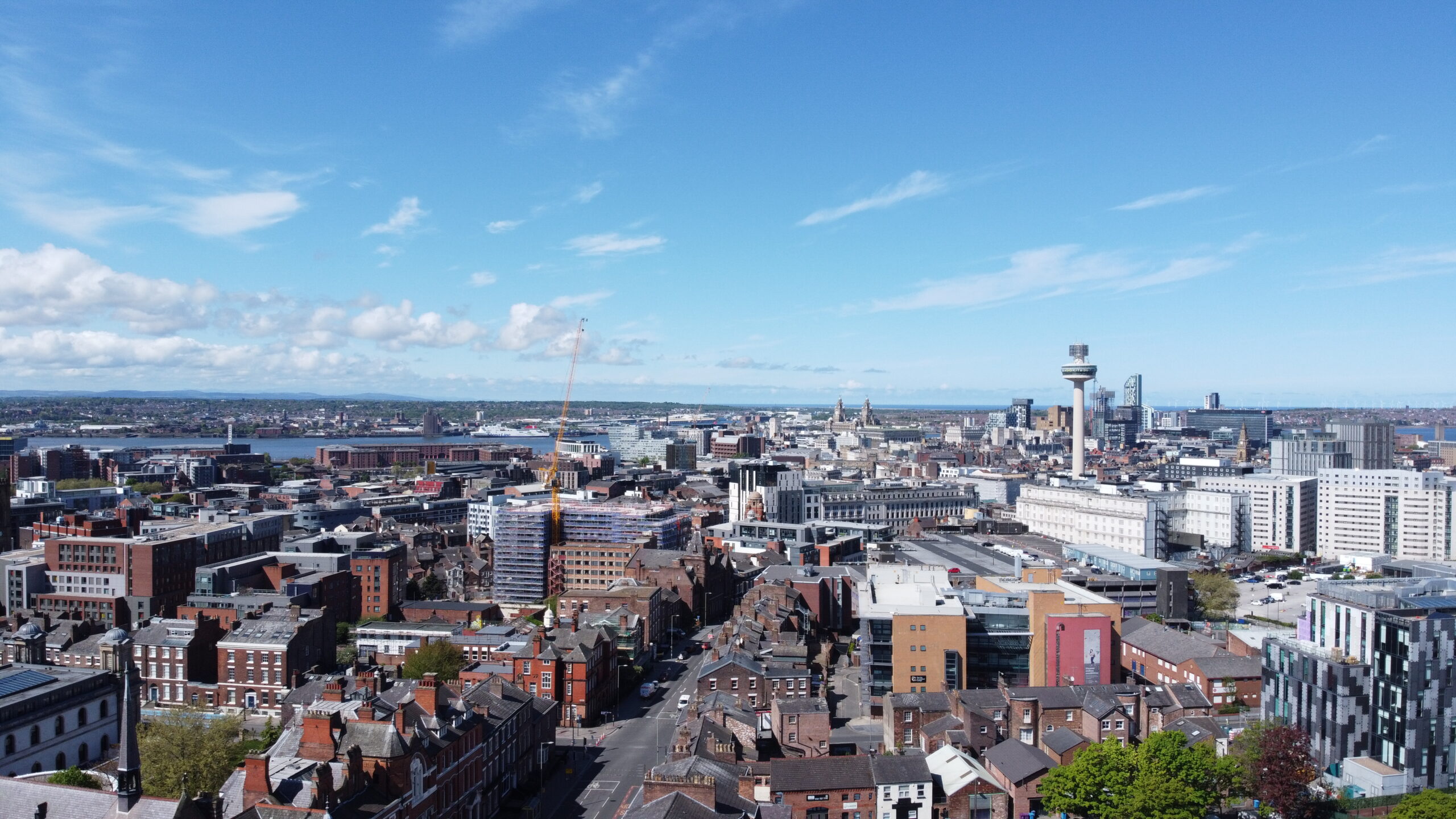
Example Image Quality
Click each image to view example image quality
What Your Aerial Photography Includes
Every shoot is delivered digitally, ready to use on your website, on social media or in print.
| Deliverable | What it is | Included |
|---|---|---|
| UHD 4K aerial photography | High-resolution stills from the heights and angles you choose. | Standard |
| Full-resolution files | Images suitable for web, social media and print. | Standard |
| Flight planning | Airspace checks and any permissions needed for your location. | Standard |
| Digital delivery | A secure download link for all your images. | Standard |
| 4K aerial video | Smooth footage of your property, site or project. | Optional |
| Video editing | Your footage edited into a finished video, ready to share. | Optional |
| Mapping and 3D | Orthomosaic maps, measurements and 3D models from the same flight. | Optional |
Weather plays a big part in aerial photography. We’ll agree a date and keep an eye on the forecast to get the best light.
At a Glance
Capture
UHD 4K stills
Access required
Usually none
Imagery issued
Within 48 hours
4K video
Optional
Scaffold needed
None
Coverage
Mainland UK
Get a Quote
Send us an address. We will come back the same working day with a price and a scope.
What Our Aerial Photography Is Used For
Our clients use aerial photography and video for all sorts of projects, including:
Whatever the project, we plan every flight around the airspace, location and light, so you get the shots you need.
The result?
Striking aerial images and footage that show your property, site or project at its best.
Beyond photography
Aerial surveys for professionals
Professional aerial photography delivers striking, high-resolution imagery for construction, property, infrastructure and commercial projects, capturing perspectives that simply aren’t possible from the ground.
Our experienced CAA-approved drone pilots provide exceptional photography for construction progress monitoring, property marketing, site documentation and promotional imagery.
Whether showcasing a completed development or documenting ongoing works, we tailor every
Great images, and data you can measure.
CAA
CAA Operational Authorisation 11363
Fully insured, with £10m public liability and specialist UAV cover
Why drones
Why choose drone photography?
Drones capture views that used to need a helicopter or a cherry picker, at a fraction of the cost, and can fly lower and closer for more detail.
- Unique perspectives. Views of your property that aren’t possible from the ground.
- Cost-effective. No helicopter, crane or cherry picker needed.
- UHD 4K quality. Crisp stills and smooth video.
- UK-wide. Based in Liverpool, flying across the country.
- Safe and legal. CAA approved, fully insured pilots and full flight planning.
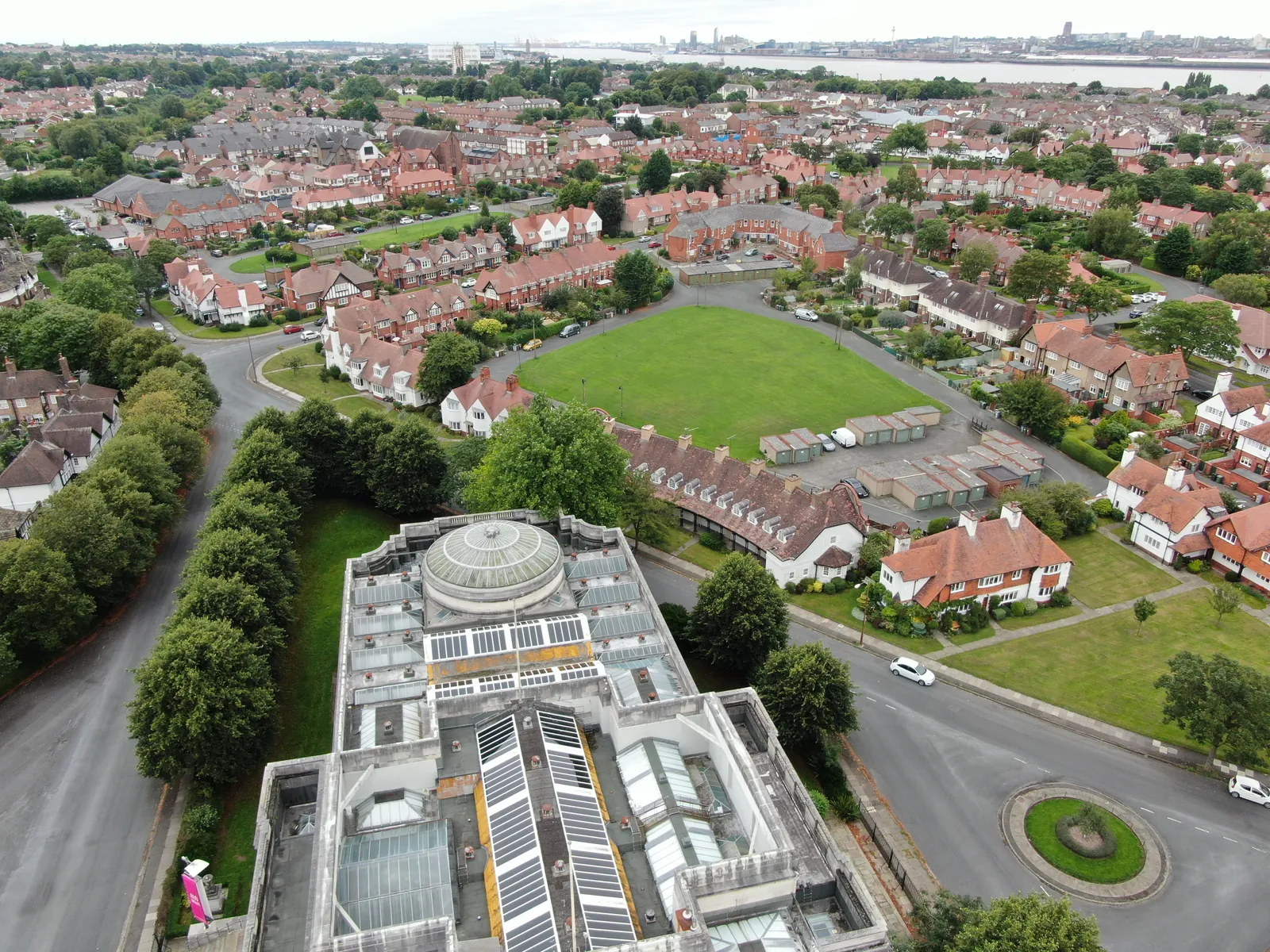
Your property captured from the air, in UHD 4K.
Sectors We Cover
Aerial photography for businesses & property owners
We work with estate agents, developers, businesses, marketing agencies, production companies and property owners across the UK.
Our service is suitable for
- ›Offices and commercial premises
- ›Warehouses, factories and industrial buildings
- ›Retail units, shopping centres and retail parks
- ›Residential apartment blocks and housing developments
- ›Housing association and social housing properties
- ›Schools, colleges, universities and education estates
- ›Hospitals, clinics and other healthcare buildings
- ›Local authority and public-sector buildings
- ›Historic, heritage and listed buildings
- ›Hotels, leisure centres and hospitality properties
- ›Care homes and assisted-living facilities
- ›Distribution centres and logistics hubs
- ›Churches and places of worship
- ›Agricultural and rural buildings
- ›MOD, defence and secure estate buildings
- ›Prisons and custodial facilities
- ›Construction sites and newly completed developments
- ›Multi-site commercial and residential property portfolios
For clients with assets spread over large areas, we build a consistent visual library of the external envelope of every asset, helping teams compare condition and prioritise maintenance.
Why choose us
Why choose Drone Site Surveys?
Drone Site Surveys specialises in professional aerial photography for the construction, property and development sectors, delivering high-resolution imagery that goes beyond standard drone photography.
Our experienced CAA-approved pilots regularly operate on live construction sites, from domestic developments and housing estates to major commercial and infrastructure projects. With an understanding of construction processes and site environments, they know how to capture clear, purposeful imagery that showcases project progress, highlights key milestones and documents completed works.
Whether for client presentations, stakeholder updates, marketing or project records, we deliver professional aerial photography that provides a valuable visual record of your development from start to finish.
Clients choose Drone Site Surveys for our specialist experience, professional standards and independent approach:


How it works
Our aerial photography process
From first enquiry to secure delivery, every survey follows the same six steps, so you always know what happens next and when.
Tell us about the property or site
Email us the location with postcode and what you’d like captured, whether stills, video or both. We’ll come back with the options available.
Planning and quote
We carry out a desktop assessment of the property and the surrounding airspace, check the survey against current UK drone regulations, and prepare your quote. You receive it by email with no obligation, along with the airspace map for your site and an example delivery so you can see exactly what you’ll be getting.
Booking your date
Once you’re happy with the quote we add your job to the schedule and start monitoring the Met Office forecast. In the meantime we prepare the pre-flight paperwork, including our risk assessment and method statement (RAMS), which we can send over for your records. As soon as we have a clear weather window and pilot availability, we confirm your attendance date. You don’t normally need to be on site.
The survey
Our CAA approved pilot captures your stills and video in UHD 4K, from the heights and angles agreed with you.
Processing
Every image is checked and organised into colour-coded folders. Any thermal analysis or reporting you’ve asked for is completed at this stage.
Delivery
We email you a link to our secure online portal, where your imagery, reports and any other agreed outputs are ready to view, download and share with your team or contractors. Alongside the deliverables you’ll find a folder containing the pre-flight paperwork, a copy of the drone airspace map for your site and any other relevant documents, so everything from the survey is in one place.
Request a Quote
Request an aerial photography quote
Whether you need a handful of stills or a full video shoot, we can tailor the flight to your location and your requirements.
Send us the address and a brief description of what you need, and we will come back with clear pricing and deliverable options.
Prefer to Speak to Us?
If you’d rather speak to one of the team, that’s no problem. Simply call the number below and one of our team will be more than happy to help.
Get a Quote
In The Know
Frequently Asked
Questions
Answers to the questions we are asked most often about drone aerial photography. If yours is not covered here, give us a call.
What can you photograph from the air?
Almost anything: homes, commercial property, land, construction sites, venues and landscapes. We’ll check the airspace and location before we confirm the shoot.
Do you provide video as well as photos?
Yes. We capture UHD 4K video as well as stills, for websites, social media, TV and advertising.
How long does a shoot take?
Most shoots take a few hours on site, depending on the location and what you need. We’ll give you a clear idea when we quote.
Can you fly anywhere?
Most locations can be flown, but some areas, such as near airports or in restricted airspace, need extra permissions. We check every location and handle the permissions needed. Read our guide to UK drone laws.
What happens if the weather is bad?
We keep an eye on the forecast and will rearrange the shoot if the weather would affect safety or image quality.
Can you photograph property for sale or marketing?
Yes. We photograph homes, commercial property and land for estate agents, developers and marketing teams, showing the property and its setting in a way ground photos can’t.
Can you capture survey data at the same time?
Yes. We can produce orthomosaic maps, measurements and 3D models from the same flight.
Can you edit the video?
Yes. Video editing is available as an optional extra, so you receive a finished film ready for your website or social media.