


Topographical drone surveys
Accurate levels, features and terrain models of your site, captured by drone in a fraction of the time of a traditional survey.
Available Files: CAD Drawings, DTM/DSM, Point Clouds & Orthomosaics
RTK
Survey-Grade Positioning
GCPs
Ground Control Checked
DTM
& DSM Models
CAD
Ready Outputs
Drone Topographical Surveys
A topographical survey gives you an accurate picture of your land: the levels, features and boundaries across a site, from buildings and trees to kerbs, banks and drainage.
Using RTK drones and ground control points, we capture large sites quickly and safely, with no one walking live roads, embankments or construction areas. The data is processed into terrain models, contours and CAD drawings ready for your design team.
We can supply data in the format your software needs, so it drops straight into your workflow.
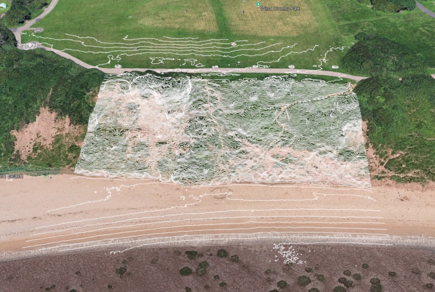
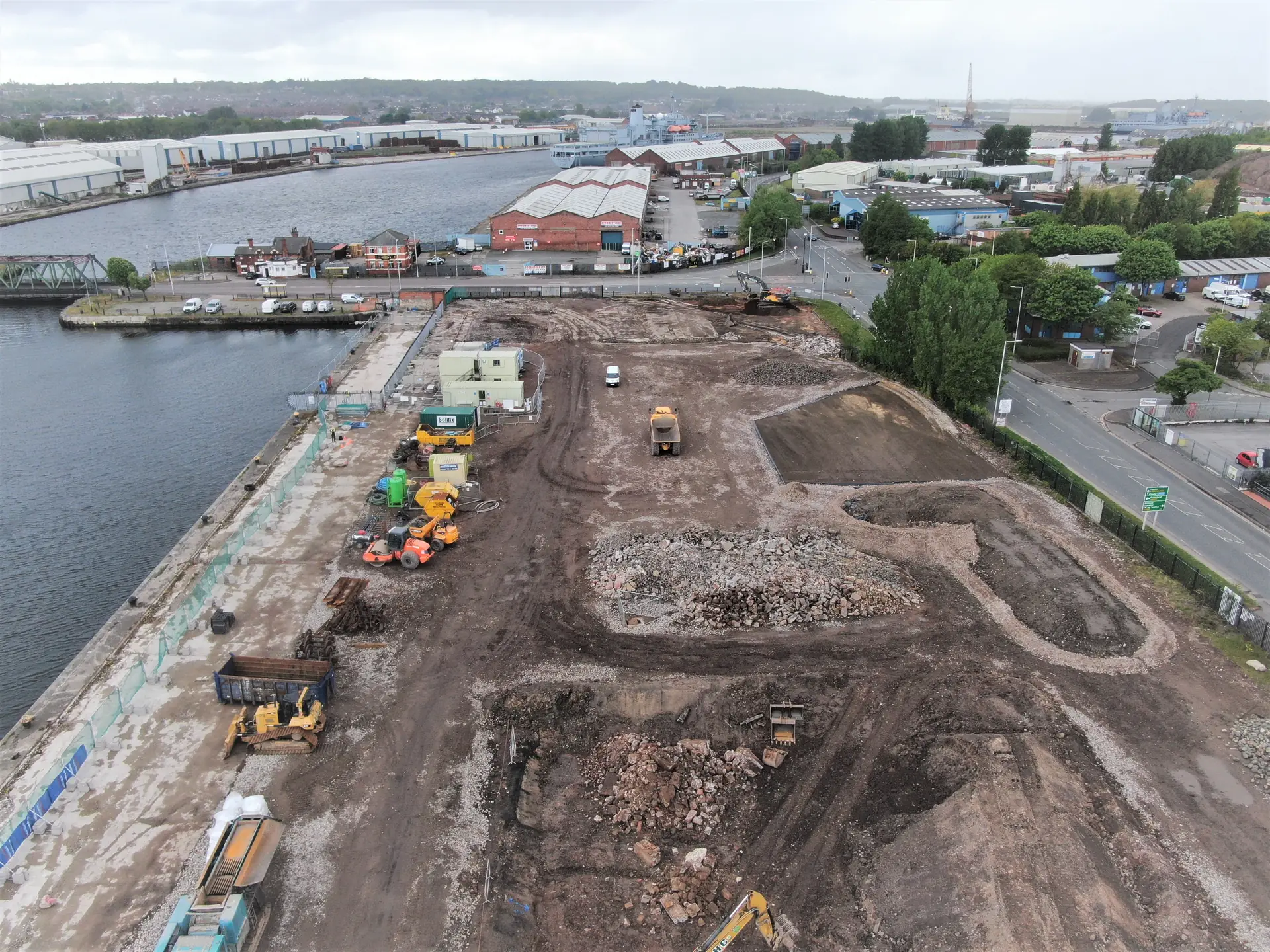
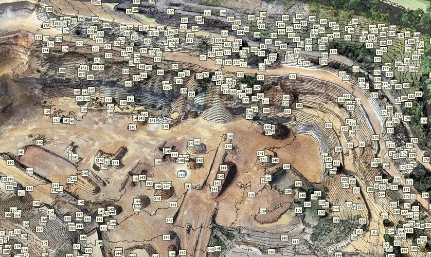
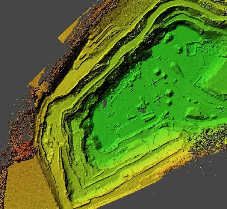
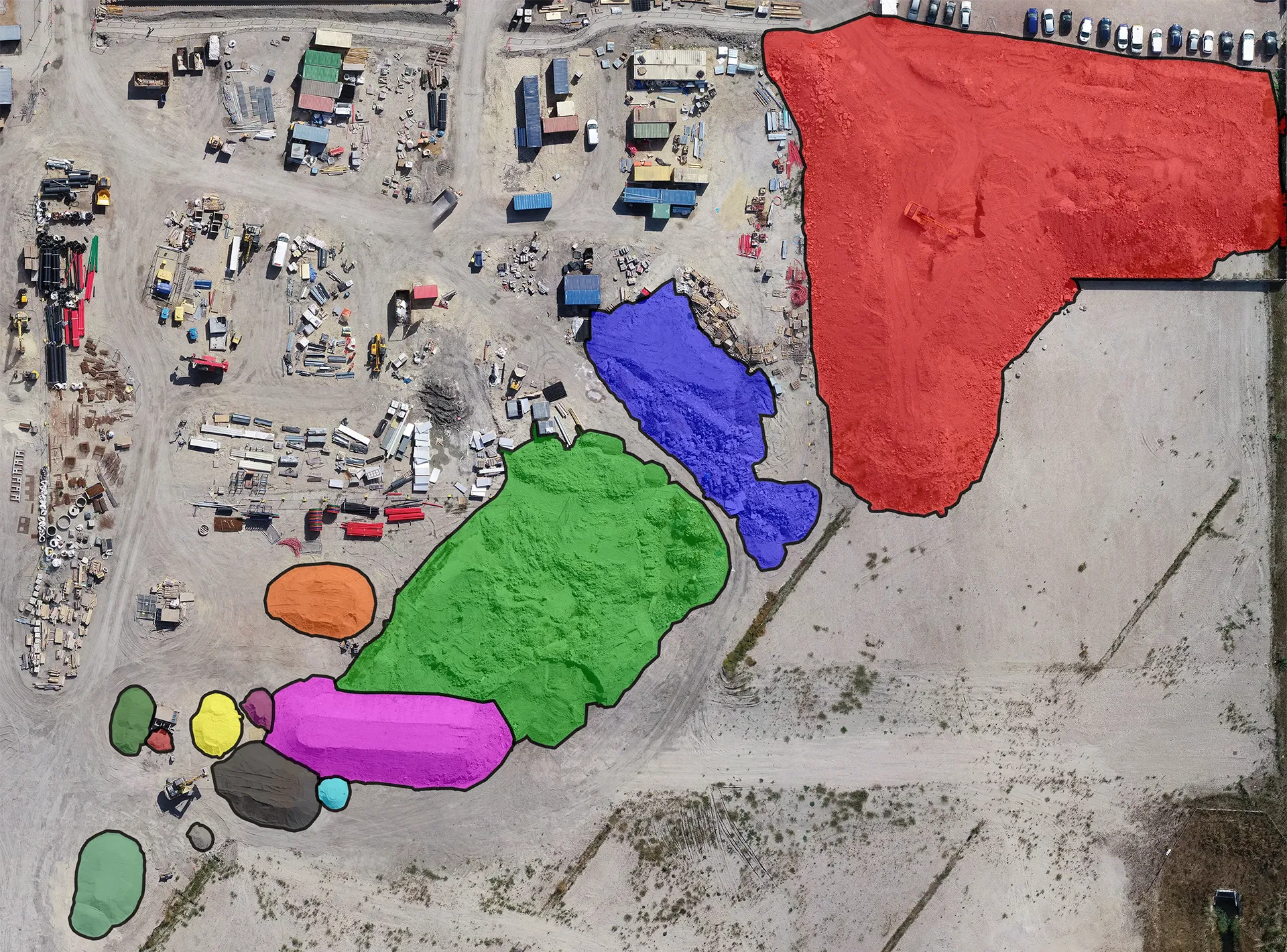
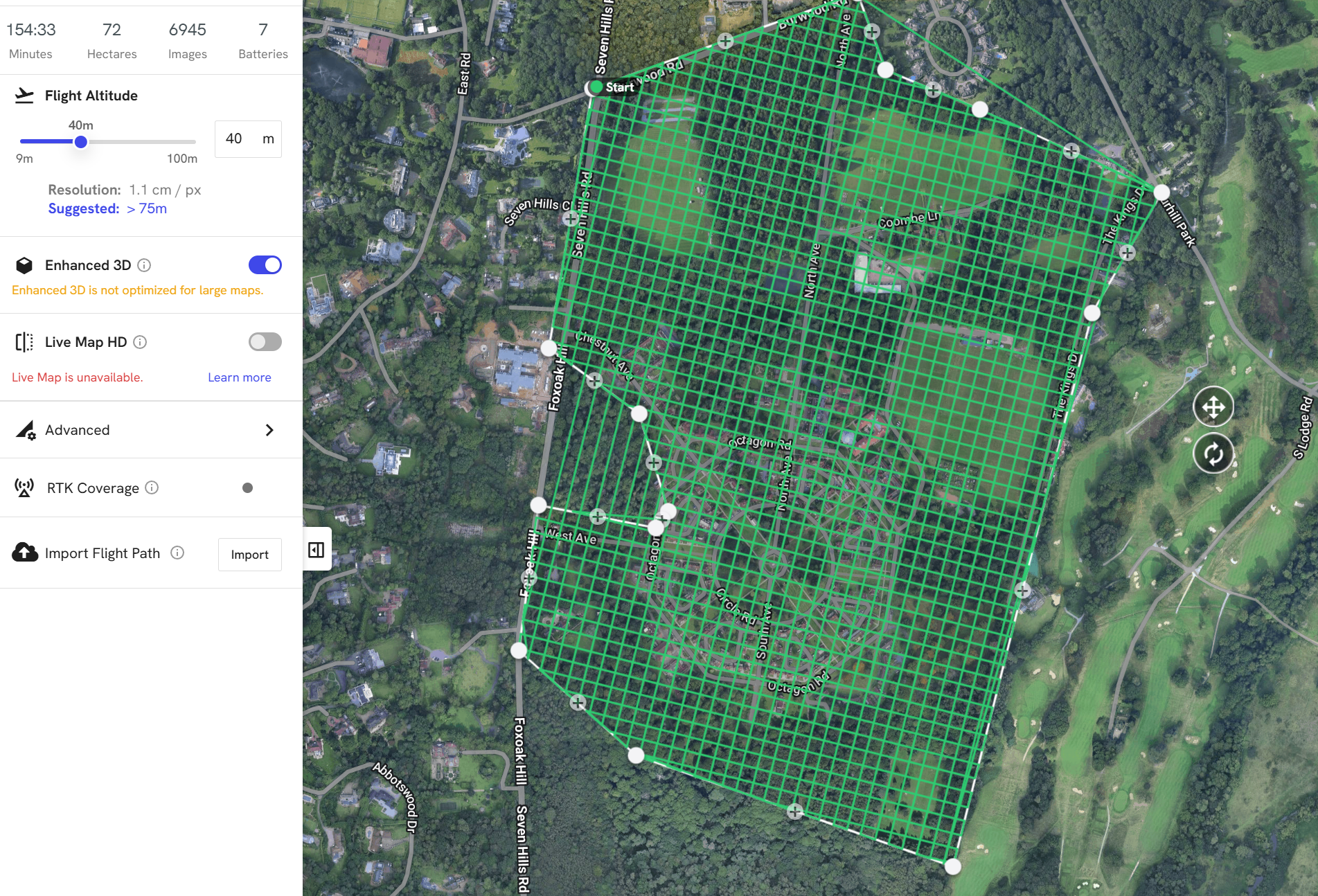
Example Image Quality
Click each image to view example image quality
What Your Topographical Survey Can Include
Choose the outputs you need, from a full CAD topographical drawing to raw point cloud and terrain data.
| Deliverable | What it is | Included |
|---|---|---|
| CAD topographical drawing | Levels, features and boundaries drawn up in CAD. | Standard |
| Digital terrain model | Bare-ground surface model for design and drainage. | Standard |
| Contours and spot heights | Contours at the interval you need, with spot levels. | Standard |
| Orthomosaic | An accurate, measurable top-down image of the site. | Standard |
| Digital surface model | Surface model including buildings and vegetation. | Optional |
| Point cloud | Full 3D point cloud in LAS, LAZ or E57. | Optional |
| LiDAR capture | For sites with dense vegetation, where ground levels are hard to see. | Optional |
Accuracy depends on the site, ground control and capture method. We’ll confirm what’s achievable for your site when we quote.
At a Glance
Capture
RTK drone + GCPs
Access required
Site access only
Pilot network
Nationwide
LiDAR option
Available
Scaffold needed
None
Coverage
Mainland UK
Get a Quote
Send us an address. We will come back the same working day with a price and a scope.
Why Clients Choose a Drone Topographical Survey
A drone topographical survey gives you more data, sooner, with less time on site. Clients benefit from:
Knowing the condition of your whole portfolio lets you mitigate risk, prioritise spending and act on real evidence rather than assumptions.
The result?
Accurate site data delivered faster, so design and planning can start sooner.
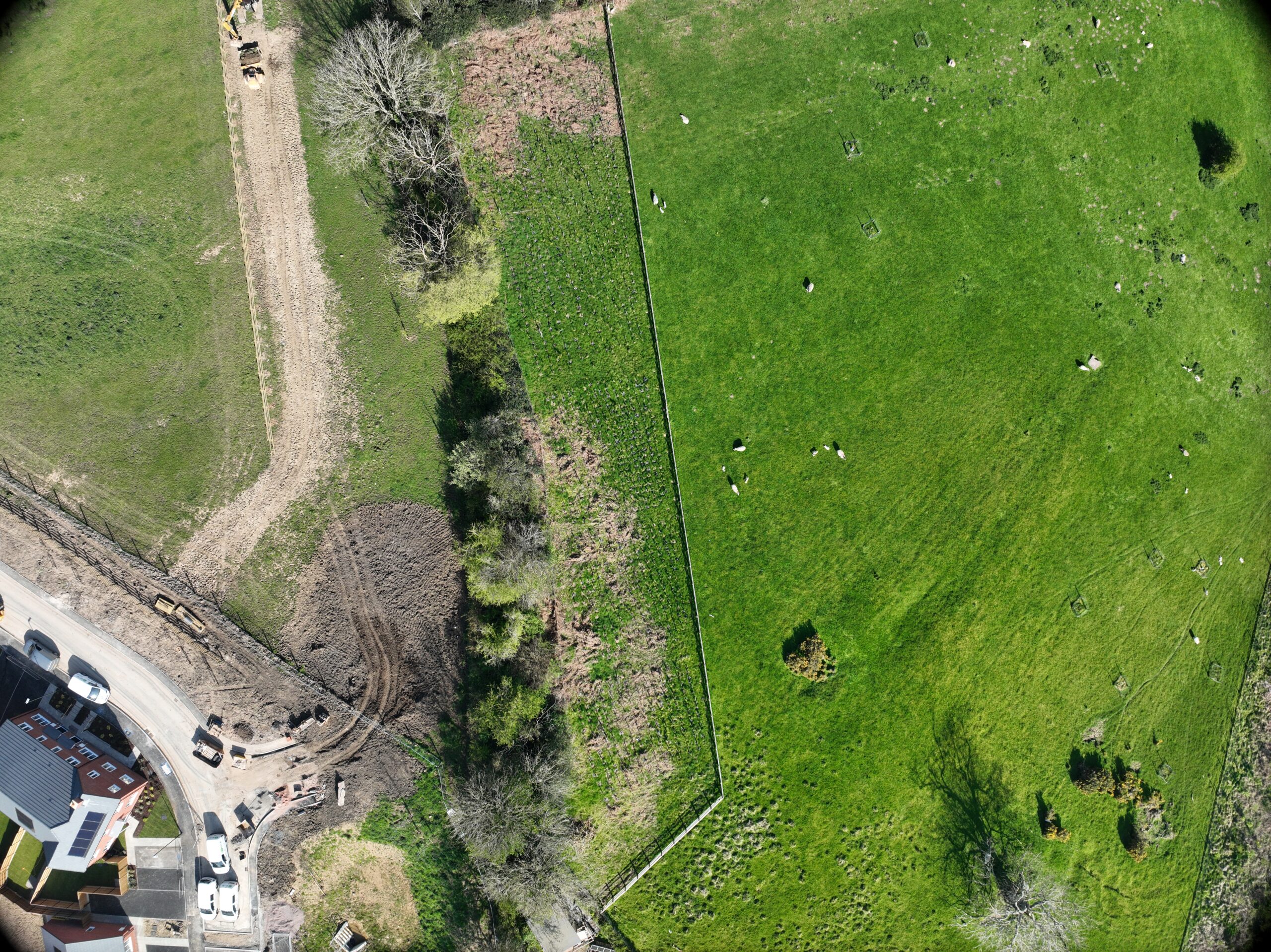
Terrain models
DTM, DSM and DEM explained
A Digital Terrain Model (DTM) shows the bare ground, with buildings and vegetation removed. A Digital Surface Model (DSM) includes everything the drone sees, and a Digital Elevation Model (DEM) is the general term for both.
We can supply any of these alongside contours, spot heights and CAD drawings, so your team has exactly what it needs for design, drainage and earthworks.
The ground, measured and ready for design.
CAA
CAA Operational Authorisation 11363
Fully insured, with £10m public liability and specialist UAV cover
Why drones
Why use drones for topographical surveys?
Walking a large site with a GNSS rover can take days and can mean working near traffic, water or plant. A drone captures the whole site from above in minutes and hours, with far more data points.
- No one at risk. Whole sites captured from the air, away from traffic and plant.
- Faster programmes. Survey data ready for design sooner.
- More detail. Dense point clouds rather than a handful of spot levels.
- Accurate. RTK drones checked against ground control points.
- Flexible outputs. CAD, terrain models, point clouds and orthomosaics.
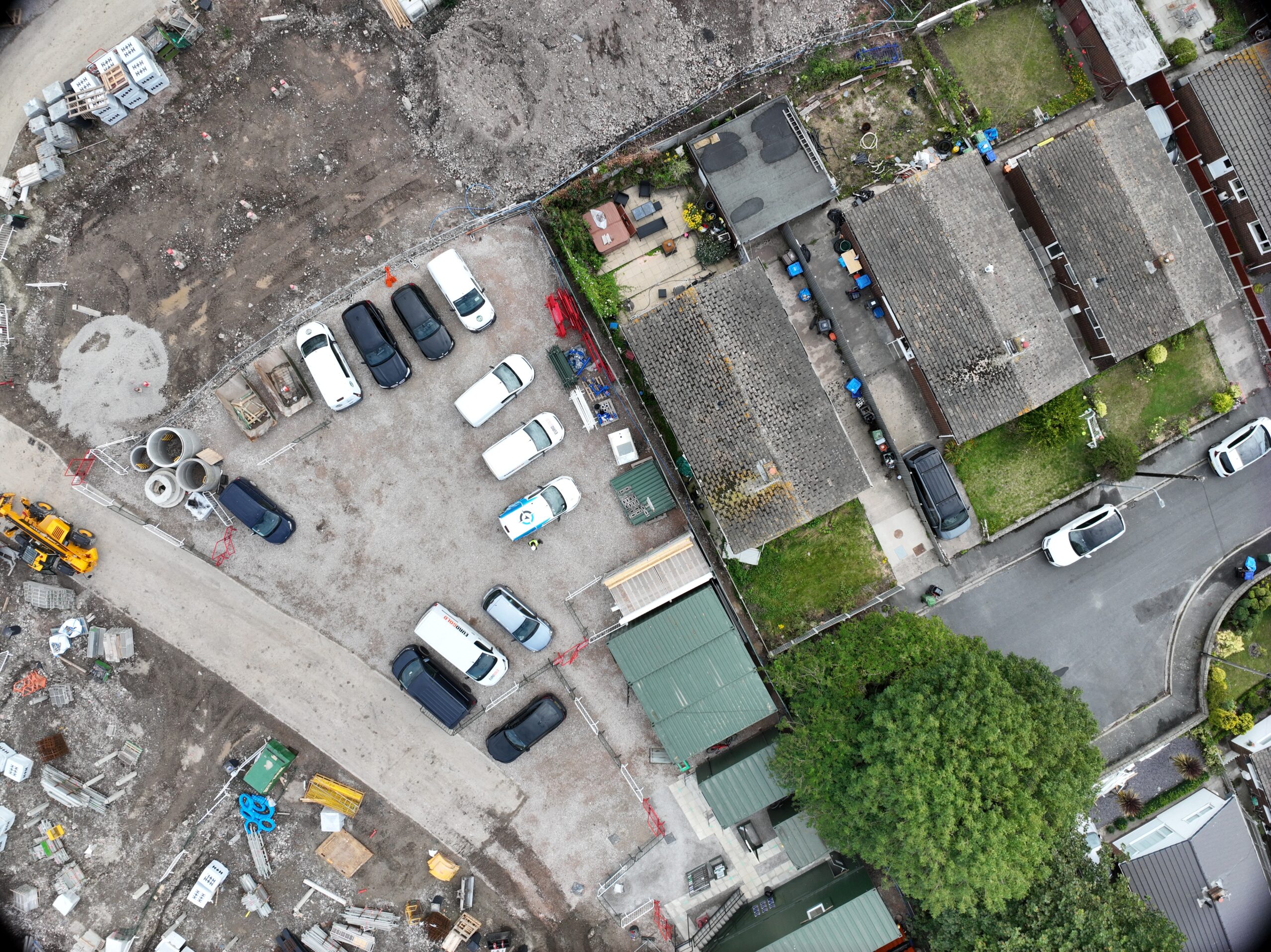
Levels, features and boundaries captured across the whole site.
Why choose us
Why choose Drone Site Surveys?
Every successful development starts with understanding the land beneath it. From subtle changes in elevation to complex site features and ground conditions, accurate topographical data provides the foundation for confident planning, design and construction decisions.
At Drone Site Surveys, we combine RTK-enabled drones, GNSS ground control points, LiDAR and advanced photogrammetry to capture detailed, measurable information across sites of all sizes. Our experienced survey teams understand the precision required by land surveyors, architects, engineers and developers, ensuring the data collected is relevant, reliable and fit for its intended purpose.
From georeferenced orthomosaics and digital terrain models to 3D point clouds, contour plans and AutoCAD drawings, we transform survey data into practical deliverables that support site planning, design, earthworks calculations and informed development decisions.
Need accurate land survey data without the delays of traditional surveying methods? Speak to our team about a drone topographical survey or land mapping solution tailored to your site’s requirements, accuracy specifications and intended outputs.
Clients choose Drone Site Surveys for our specialist experience, professional standards and independent approach:
We provide impartial topographical surveying and land mapping services, with no involvement in land development, design or construction works. Our focus is on capturing accurate, reliable spatial data that reflects the existing site conditions, giving architects, engineers, surveyors and developers an objective foundation for planning, design and informed decision-making.





How it works
Our topographical survey process
From first enquiry to secure delivery, every survey follows the same six steps, so you always know what happens next and when.
Tell us about the area required
Send us a site boundary and tell us what you need: levels, features, contours or a full CAD drawing. We’ll confirm the outputs and accuracy.
Planning and quote
We carry out a desktop assessment of the area and the surrounding airspace, check the survey against current UK drone regulations, and prepare your quote. You receive it by email with no obligation, along with the airspace map for your site and an example delivery so you can see exactly what you’ll be getting.
Booking your date
Once you’re happy with the quote we add your job to the schedule and start monitoring the Met Office forecast. In the meantime we prepare the pre-flight paperwork, including our risk assessment and method statement (RAMS), which we can send over for your records. As soon as we have a clear weather window and pilot availability, we confirm your attendance date. You don’t normally need to be on site.
The survey
Depending on your requirements, our CAA approved pilots set out ground control points, then fly the site with an RTK drone on a planned grid for consistent, accurate coverage.
Processing
The imagery is processed into point clouds, terrain models and orthomosaics, then drawn up into your CAD deliverables.
Delivery
We email you a link to our secure online portal, where your imagery, reports and any other agreed outputs are ready to view, download and share with your team or contractors. Alongside the deliverables you’ll find a folder containing the pre-flight paperwork, a copy of the drone airspace map for your site and any other relevant documents, so everything from the survey is in one place.
Request a Quote
Request a topographical survey quote
Whether it’s a single plot or a large development site, we can tailor the survey to your design brief.
Send us the address and a brief description of what you need, and we will come back with clear pricing and deliverable options.
Prefer to Speak to Us?
If you’d rather speak to one of the team, that’s no problem. Simply call the number below and one of our team will be more than happy to help.
Get a Quote
In The Know
Frequently Asked
Questions
Answers to the questions we are asked most often about topographical surveys. If yours is not covered here, give us a call.
What is a topographical survey?
A measured survey of a site’s levels, features and boundaries, supplied as drawings and terrain data for design and planning.
How accurate is a drone topographical survey?
Using RTK drones and ground control points, drone surveys can be highly accurate. The exact accuracy depends on the site and capture method, and we’ll confirm it when we quote.
What file formats do you supply?
CAD drawings (DWG/DXF), terrain models, point clouds (LAS, LAZ, E57) and orthomosaics. If your software needs something else, just ask.
What is the difference between a DTM and a DSM?
A DTM shows the bare ground with buildings and vegetation removed. A DSM includes everything on the surface, such as roofs and trees.
Can you survey sites with lots of trees?
Photogrammetry can’t see through dense vegetation, so for those sites we can use LiDAR, which captures ground levels beneath the canopy.
Do you need access to the site?
Yes, to set out ground control points and a safe take-off area. We’ll agree access and timings in advance.