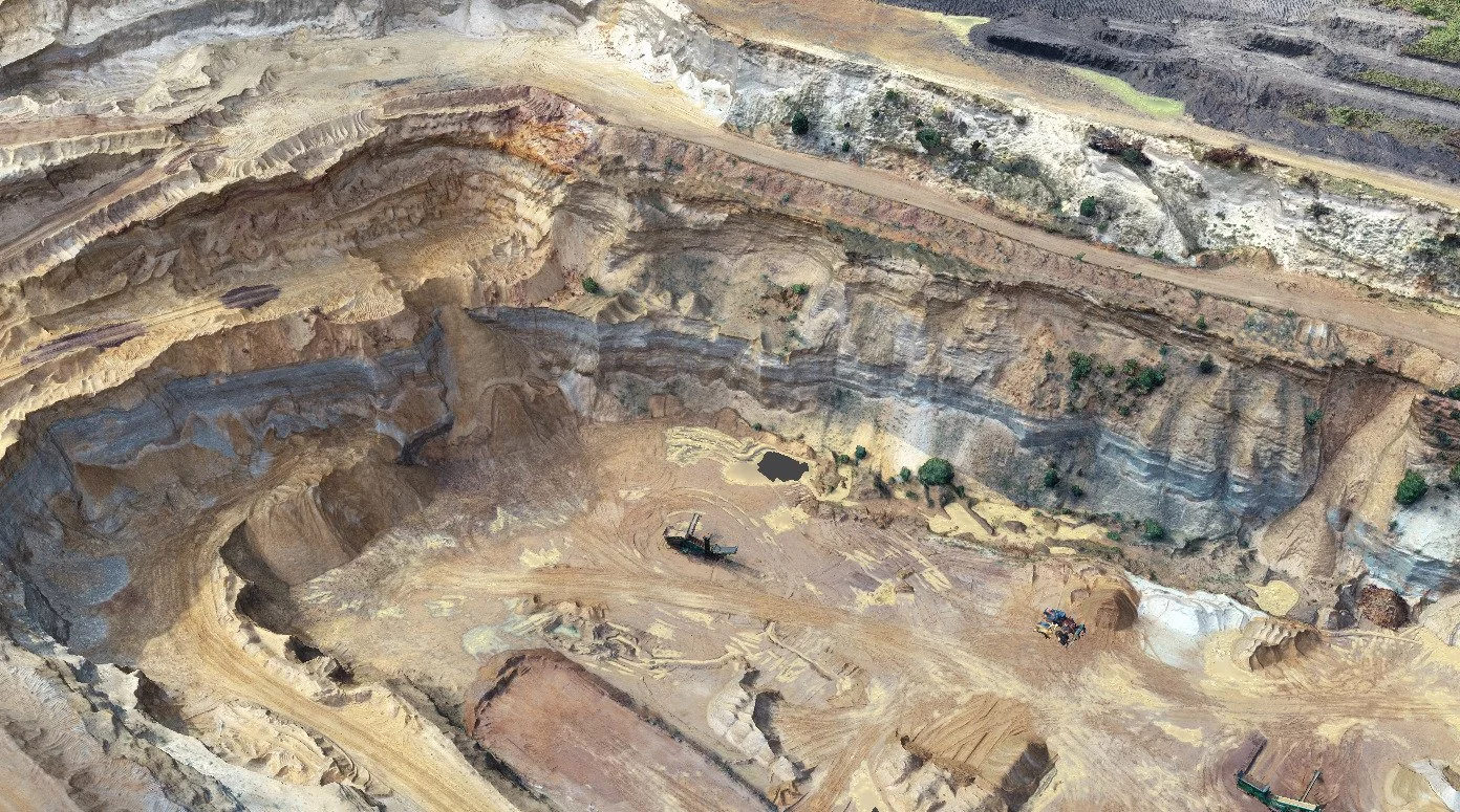
A topographical survey is a detailed survey that maps the physical features of a piece of land. This type of survey is commonly used in construction, engineering, and land development projects, as it provides detailed information about the land’s topography, including the location of natural and man-made features such as buildings, roads, rivers, and hills.
The process of conducting a topographical survey typically begins with the surveyor visiting the site and using specialised equipment, such as a total station or GPS receiver, to take precise measurements of the land. In our case, we will produce a topo survey using drones and ground control points. The surveyor will then use this data to create a detailed map of the area, which shows the location and elevation of various features on the land.
Advantages of a Topo Survey
One of the key advantages of a topographical survey is that it provides detailed information about the lay of the land, which is essential for planning and executing construction and development projects. By understanding the topography of the land, engineers and architects can design buildings and other structures that are well-suited to the site and that minimize the need for costly grading and earthmoving work.
In addition to providing detailed information about the physical features of a site, a topographical survey can also help identify potential challenges and hazards that may affect a construction project. For example, a topographical survey can reveal the presence of underground utilities, wetlands, or steep slopes that may require special consideration during the design and construction phases of a project.
Topo Surveys by Drone
The use of drones for topographical land surveys offers several benefits over traditional survey methods.
First, drones can collect data more quickly and efficiently than traditional survey methods, such as using ground-based survey equipment or aerial surveys using aeroplanes or helicopters. This speed and efficiency can save time and money on a survey project, allowing companies to complete surveys in a shorter amount of time and at a lower cost.
Second, drones are able to access areas that may be difficult or impossible for ground-based survey equipment to reach. For example, drones can easily fly over rough terrain, water, and other obstacles, allowing for the collection of data from a variety of different environments.
Third, drones can collect highly accurate and detailed data. Modern drones come with advanced sensors and sophisticated mapping technology, allowing them to capture high-quality images with exceptional clarity. They don’t just snap photographs—these drones also collect detailed elevation and slope data. Once captured, professionals use this information to build precise and intricate maps of the surveyed area. This gives teams a clear understanding of the terrain, helping them make well-informed decisions quickly and effectively.
Fourth, drones are able to provide real-time data and imagery, allowing surveyors to see exactly what the drone is seeing as it is collecting data. This can help surveyors ensure that they are collecting the data they need, and can also allow them to make adjustments to the survey in real time if needed.
Overview
Overall, a topographical survey is an essential tool for anyone planning to develop or build on a piece of land. By providing detailed information about the physical features of the site, a topographical survey can help ensure that a construction project is successful and cost-effective. The use of drones for topographical land surveys offers many benefits over traditional survey methods. The speed, efficiency, and accuracy of drone surveys make them an increasingly popular choice for companies and organizations looking to collect data about the topography of a particular area.