


Land Developers: Get the Truth from Above with Drone Site Surveys
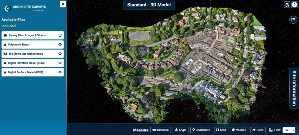
When you are making decisions worth millions, “good enough” data is never enough. Drone Site Surveys provides land developers with high-resolution aerial images and accurate data transformed into decision-ready outputs you can measure, share and trust. Using the latest drone technology and advanced photogrammetry, we create a detailed 3D model of your site, complete with […]
Photogrammetry or LiDAR: Which is Best for External Envelope Building Modelling
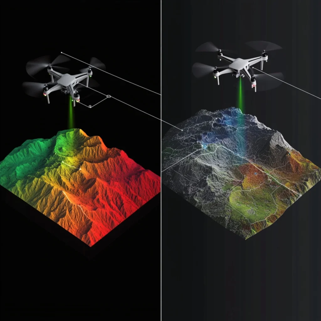
In aerial surveying, professionals often compare photogrammetry with LiDAR (Light Detection and Ranging). Both methods can produce accurate and reliable data, but how do they differ for external envelope building scanning? As Chief Pilot at Drone Site Surveys, I have worked with both methods frequently. This text covers common questions, clarifies key points, and offers […]
What is a Topographical Survey?
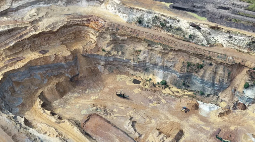
A topographical survey is a detailed survey that maps the physical features of a piece of land. This type of survey is commonly used in construction, engineering, and land development projects, as it provides detailed information about the land’s topography, including the location of natural and man-made features such as buildings, roads, rivers, and hills. […]