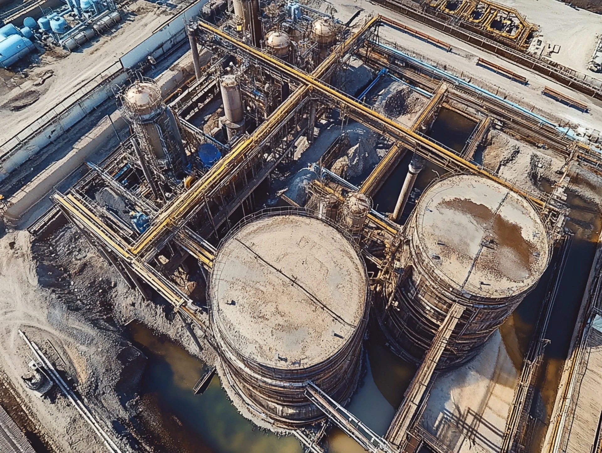
Photogrammetry is the art and science of obtaining accurate measurements from pictures is revolutionising the modern construction and infrastructure industries. As technology keeps getting better, using it in construction projects gives us more accuracy, efficiency, and lower costs than ever before.
We examine the fundamentals of photogrammetry, its applications in infrastructure development and construction, and how it is transforming the business landscape.
What Is Photogrammetry and How Does It Work?
Photogrammetry is the process of capturing images from various angles to create detailed 3D models or maps. Construction teams can better understand a project’s requirements by extracting spatial data using drones, satellites, or specialised cameras.
Understanding Photogrammetry Techniques
There are two primary methods of photogrammetry:
- Aerial Photogrammetry: Captures images from drones or aircraft to create detailed site maps.
- Terrestrial Photogrammetry: Involves ground-based imaging for highly localised measurements.
To create orthomosaic maps, point clouds, or 3D renderings, sophisticated software stitches together these images.
The Role of Photogrammetry in Modern Construction
Construction workflows are changing as a result of photogrammetry’s incorporation. Photosurveying speeds up the planning, design, and execution stages by offering a dependable and non-invasive method of data collection.
Photogrammetry vs. Traditional Surveying Methods
Traditional surveying methods rely heavily on manual measurements, which are time-consuming and error-prone. In contrast, photogrammetry is:
- Reduces human error through automated data processing.
- Covers large areas in less time.
- Produces high-resolution, real-time data for dynamic project needs.
Advantages of Photosurveying in Infrastructure Development
Infrastructure projects, from roads to bridges, require precision and foresight. Photosurveying supports these objectives in several key ways:
Key Benefits for Construction Projects
- Enhanced Accuracy: Detailed imagery ensures precise planning and design, minimising costly mistakes.
- Time Efficiency: Automated mapping reduces time spent on on-site surveys, enabling faster decision-making.
- Cost Savings: Early detection of potential issues prevents resource wastage.
- Environmental Impact: Non-invasive data collection protects surrounding ecosystems.
Enhancing Infrastructure Planning with Area Aerial Survey
Aerial surveys offer comprehensive datasets to enhance large-scale infrastructure projects.
- Site analysis: Identify topographical challenges before construction begins.
- Resource allocation: Optimise material and labour deployment with detailed plans.
- Maintenance planning: Monitor infrastructure health over time using comparative imagery.
Challenges in Implementing Photogrammetric in Construction
Despite its advantages, photogrammetric presents some challenges for widespread adoption.
Overcoming Limitations in Photogrammetric Technology
- Initial Costs: Equipment and software investments can be prohibitive for smaller firms.
- Training Requirements: Teams need expertise in data collection and processing.
- Weather Dependency: Outdoor projects may face delays due to weather affecting image capture.
Solutions to these challenges include industry-wide training programs, advancements in weather-resistant equipment, and modular software pricing to reduce entry barriers.
The Future of Photogrammetry in Construction and Infrastructure
The integration of photogrammetry with emerging technologies is critical to its future success. As artificial intelligence (AI) and machine learning advance, photogrammetry will become even more efficient.
Trends Shaping Photogrammetry in the Construction Industry
- AI-Driven Automation: Algorithms will analyse photogrammetric data faster and more accurately.
- Integration with BIM (Building Information Modelling): Combining 3D models with BIM systems streamlines construction workflows.
- Sustainable Construction Practices: Detailed site data helps reduce material waste and environmental disruption.
- Increased Accessibility: Lower costs and simplified tools will make photogrammetry viable for smaller projects.
Photogrammetry’s Impact on Construction: A Final Takeaway
Photogrammetry has become an indispensable tool for construction and infrastructure projects. Its ability to provide usable, accurate data is significantly changing the way we plan and maintain buildings, roads, and other infrastructure. Photogrammetric technology will continue to shape the future of construction as technology continues to advance. It will make projects safer, more efficient, and better for the environment.
Related reading
Find out more about our 3D photogrammetry models.