


Signage surveys & inspections
High-level sign inspections across the UK, capturing signs, fixings and surroundings close up without scaffolding, ladders or MEWPs.
Available Files: 4K Imagery, Video, 3D Models & Reports
UK
Wide Pilot Network
None
Access Equipment
4K
Close-Up Imagery
Multi
Site Programmes
Drone Signage Surveys
We carry out high-level sign inspections across the UK, giving you a complete visual record of your signage and its condition.
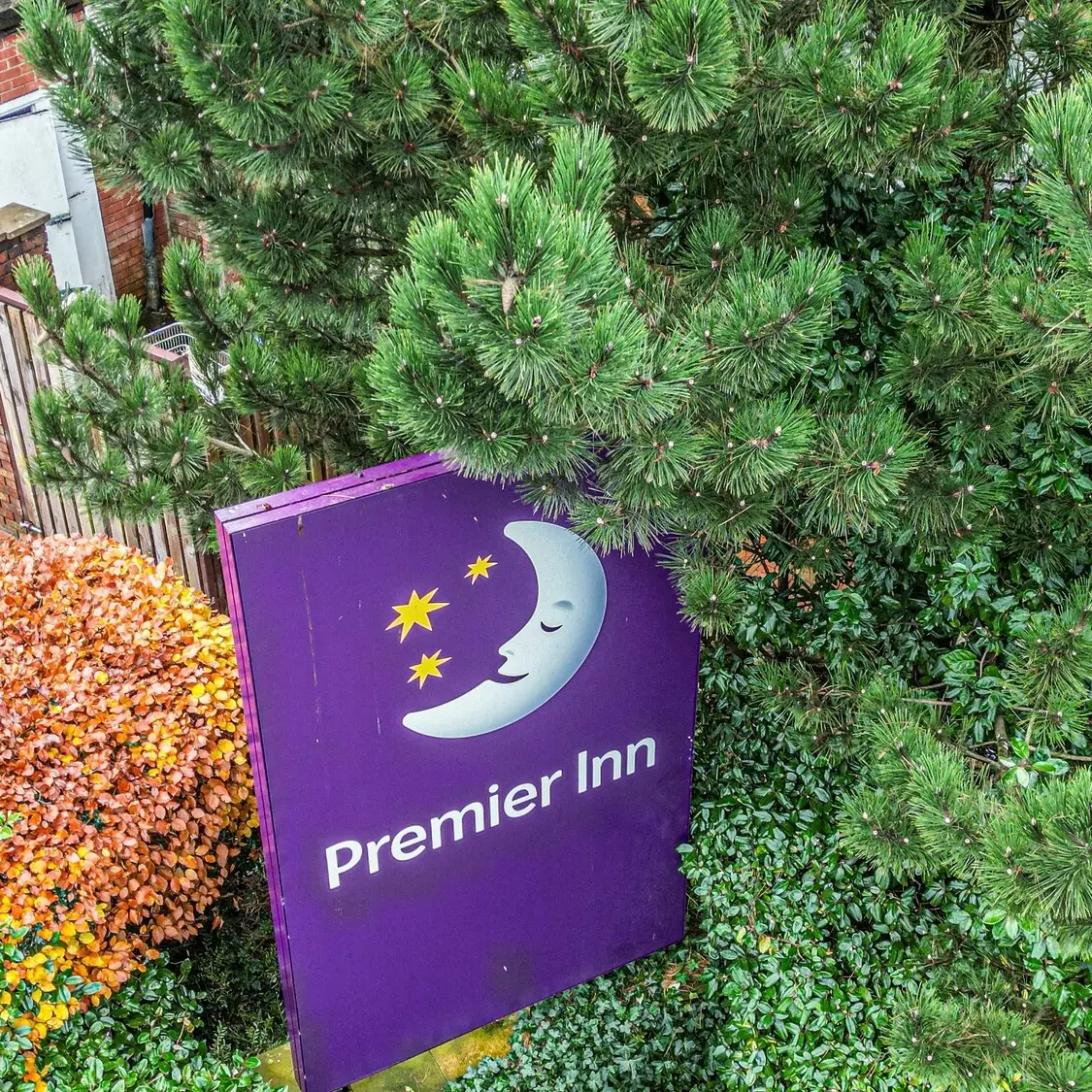
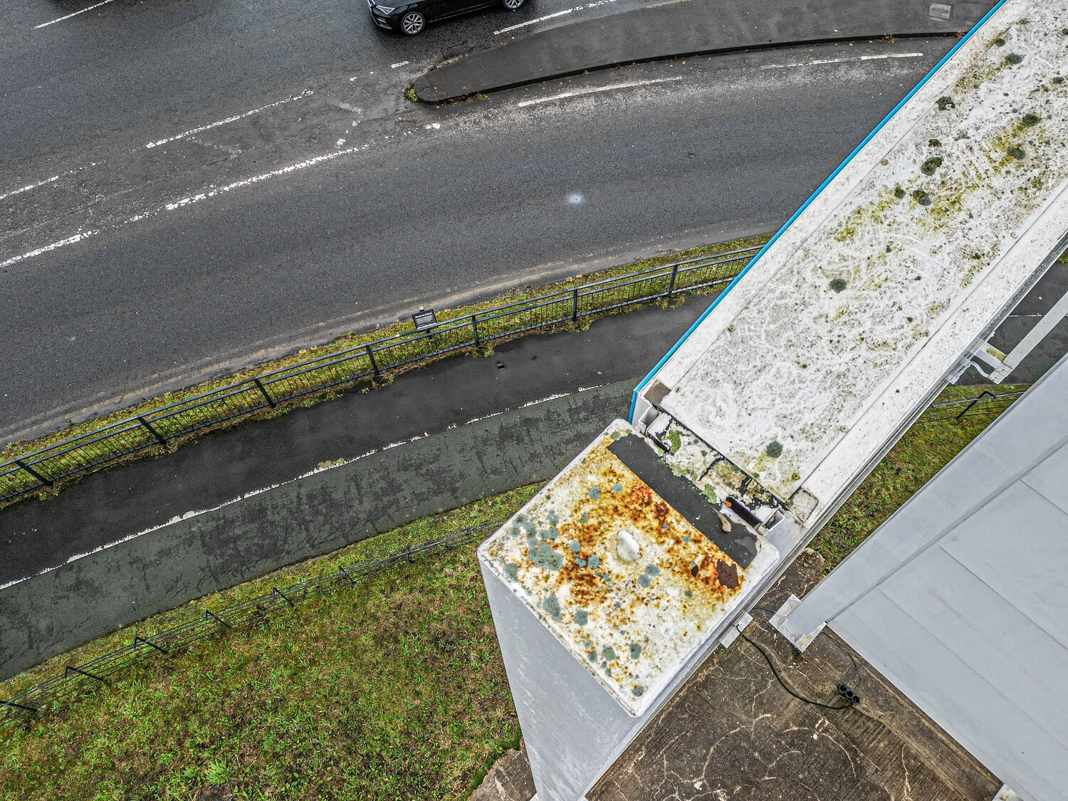
Our pilots capture the sign structure, sub-fascia and visible fixings, plus the area beneath where scaffolding or a MEWP would go, and anything nearby that could affect the sign, such as overhanging trees or blocked gutters.
Your sign installers can then plan maintenance or replacement accurately, reducing downtime and repeat visits.
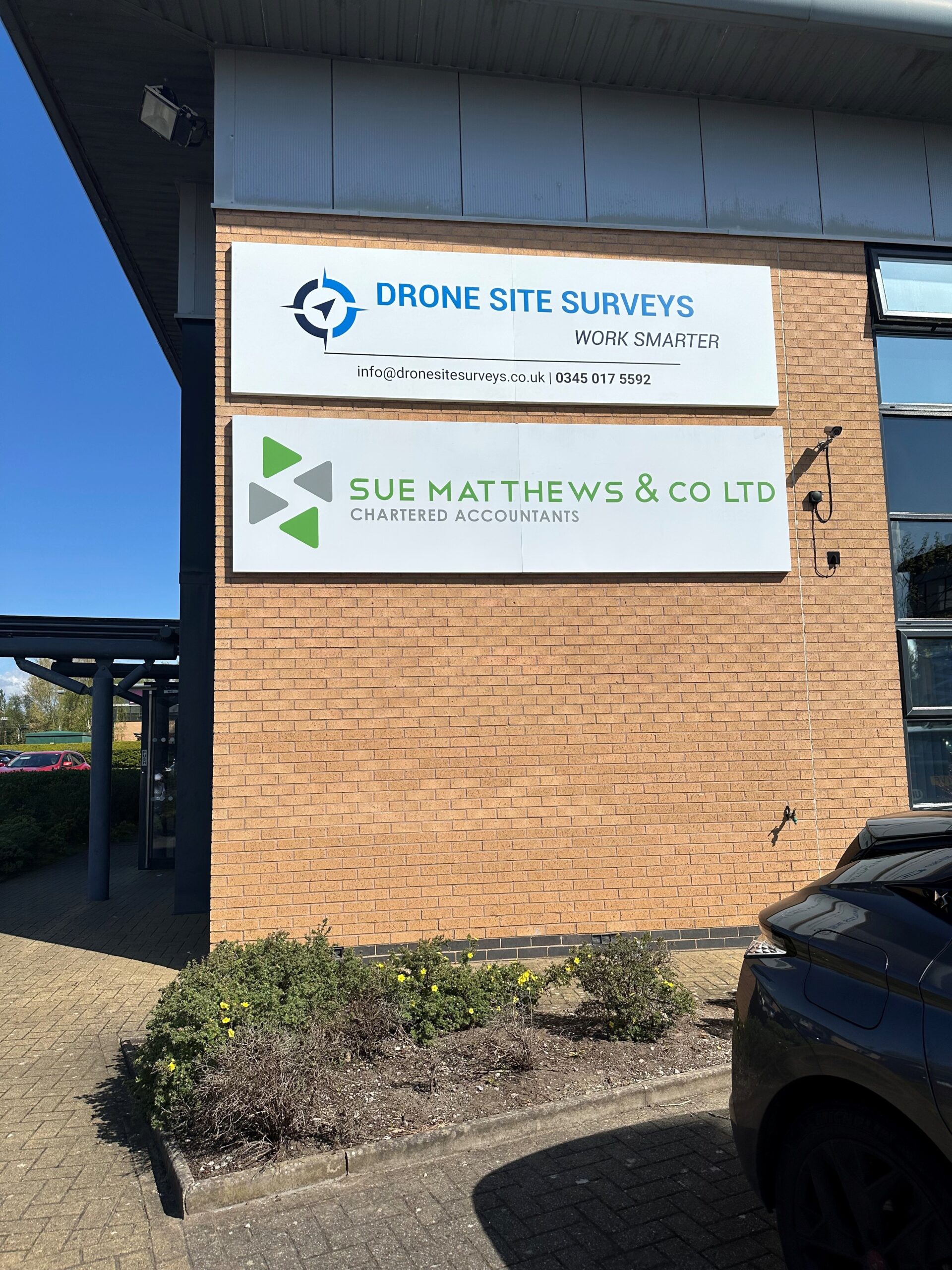
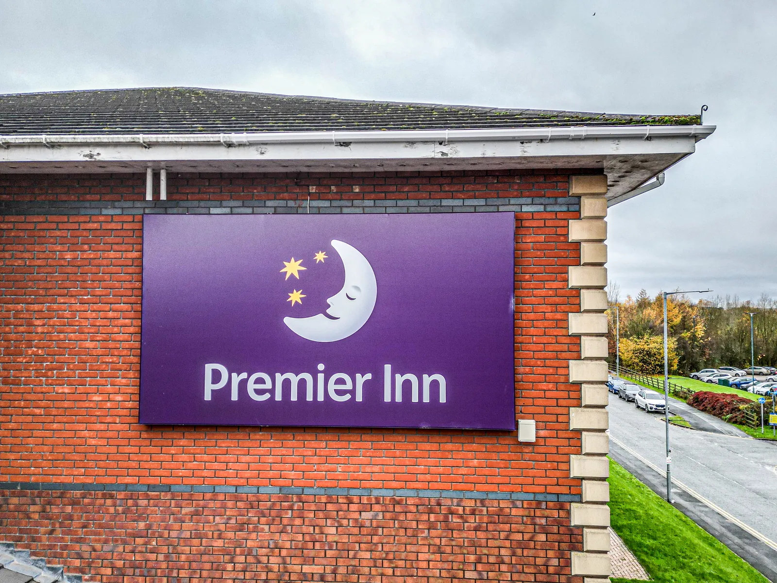
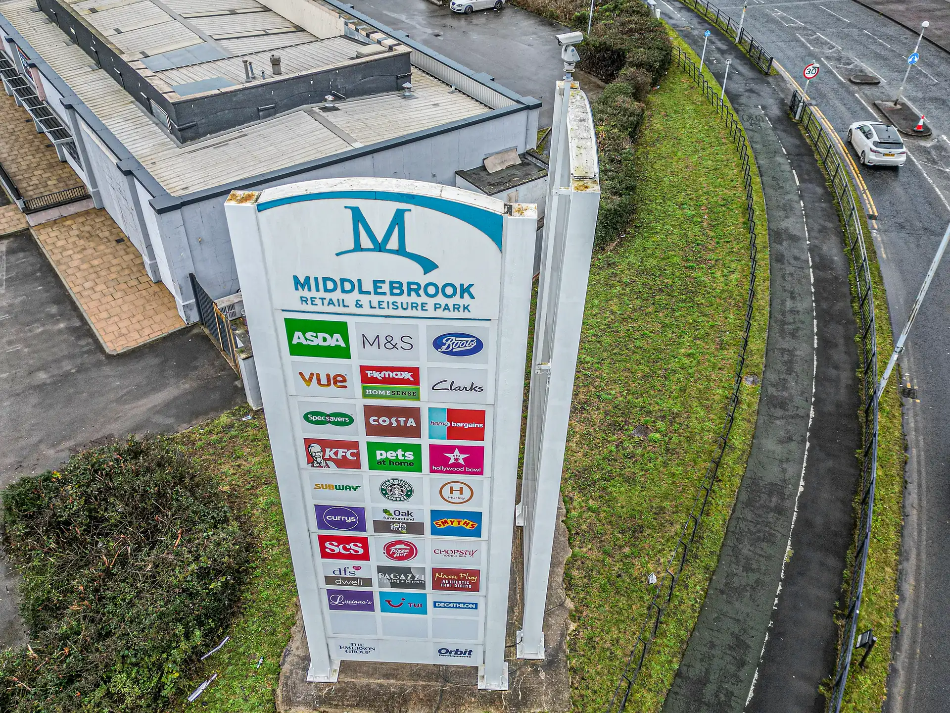
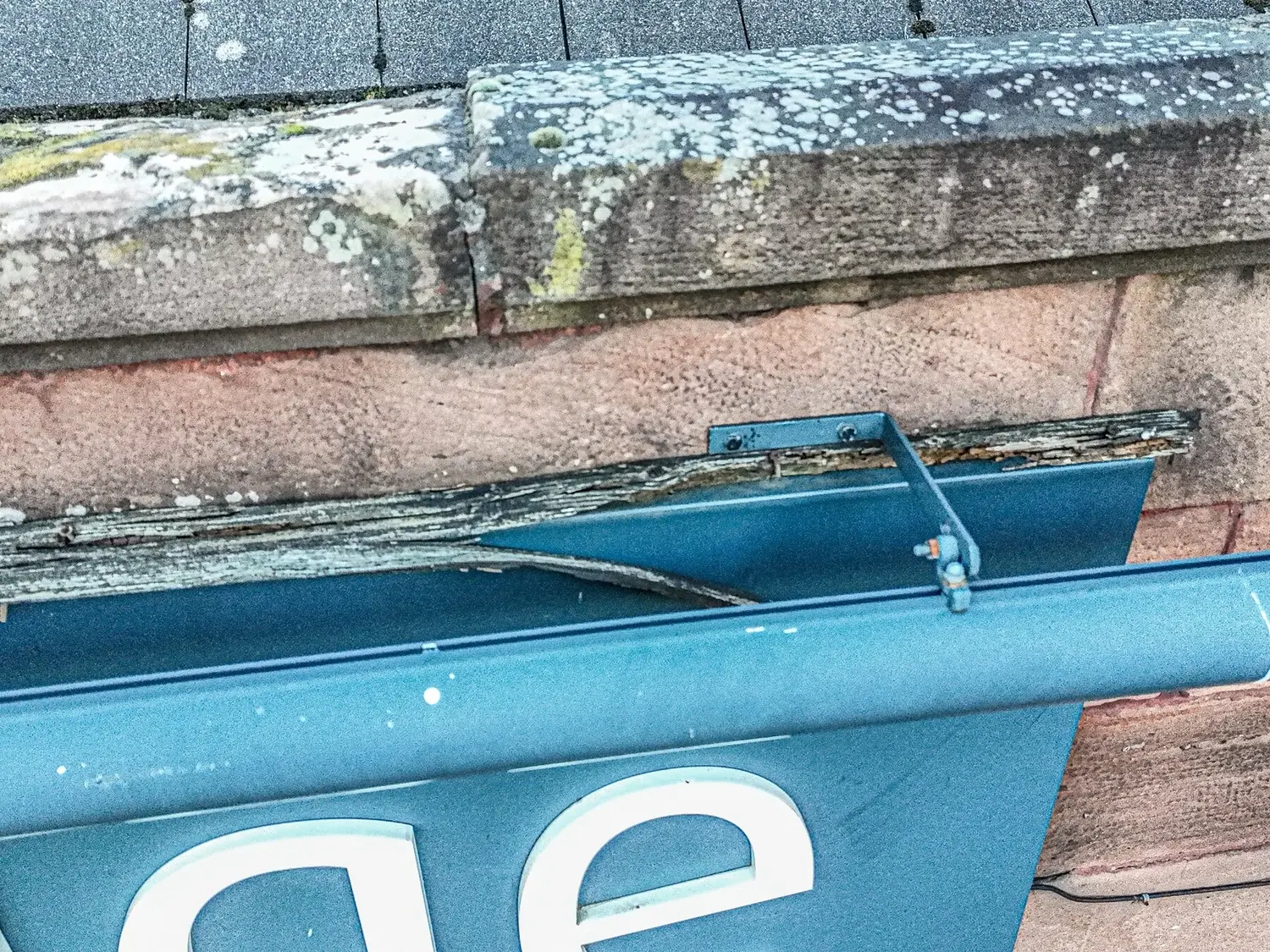
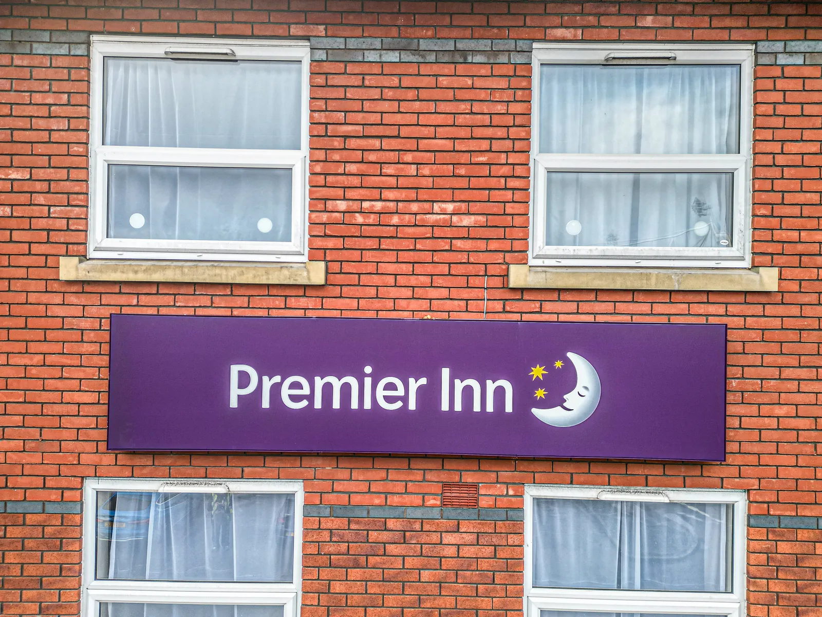
Example Image Quality
Click each image to view example image quality
What Your Signage Survey Can Include
Choose imagery only, or add 3D models and reporting. Every site is delivered through a branded online portal.
| Deliverable | What it is | Included |
|---|---|---|
| Sign imagery | Close-up UHD 4K images of every sign. | Standard |
| Fixings and fascia | Visible fixings, sub-fascia and supporting structure. | Standard |
| Surroundings | The area beneath the sign, gutters and overhanging foliage. | Standard |
| Online portal | Imagery organised by site, with white-label options. | Standard |
| 3D models | Detailed 3D models of signs and elevations. | Optional |
| Thermal imaging | Thermal checks for illuminated signs and structures. | Optional |
| Condition notes | Written notes on issues found at each sign. | Optional |
For national programmes, we capture every site the same way so signs can be compared across your estate.
At a Glance
Capture
UHD 4K + video
Access required
Usually none
Pilot network
Nationwide
3D models
Optional
Scaffold needed
None
Coverage
Mainland UK
Get a Quote
Send us an address. We will come back the same working day with a price and a scope.
Why Clients Choose Drone Site Surveys for Signage Inspections
A drone signage survey gives installers everything they need before they arrive. Clients benefit from:
Knowing the condition of your whole portfolio lets you mitigate risk, prioritise spending and act on real evidence rather than assumptions.
The result?
A clear, close-up record of every sign, so installers arrive with the right plan, parts and access.
White-label portals
Delivered under your brand
Signage programmes produce a lot of imagery. We deliver everything through online portals organised by site, so your team can review each sign without large downloads.
For sign companies and multi-site clients, portals can be fully white-labelled with your own branding.
Every sign, every fixing, every site.
CAA
CAA Operational Authorisation 11363
Fully insured, with £10m public liability and specialist UAV cover
Why droneS
Why use drones for signage surveys?
Inspecting high-level signs usually means booking a MEWP or scaffolding just to look. A drone captures every sign and fixing close up, safely and quickly, before any access is booked.
- No one at height. Signs inspected without ladders, scaffold or MEWPs.
- Close-up detail. Fixings, fascias and brackets captured in 4K.
- Consistent. The same method at every site.
- Installers - better planning means fewer failed visits.
- Easy delivery. Branded portals organised by site.
Signage Survey
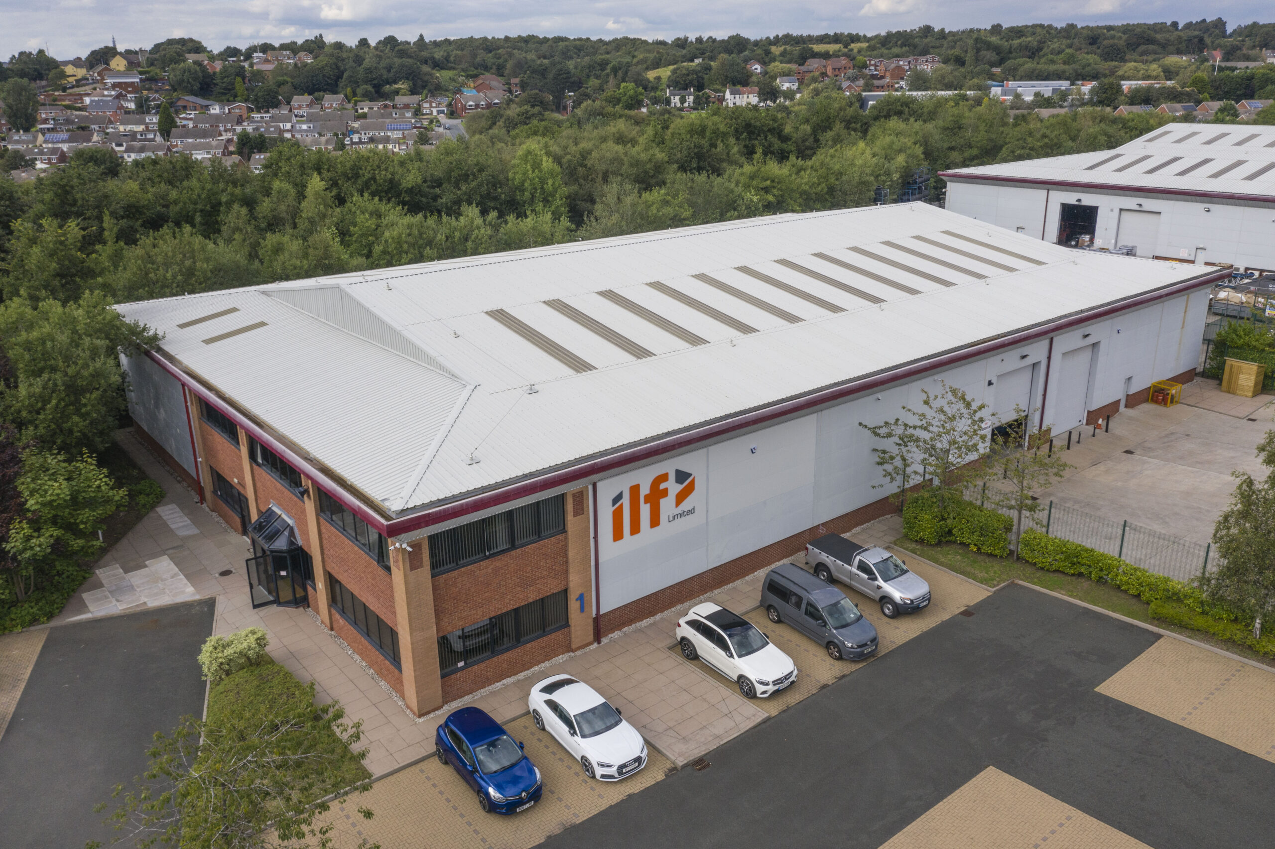
Overview and up close imagery of signs, fixings, bracketry and surroundings.
Why choose us
Why choose Drone Site Surveys?
Drone Site Surveys specialises in professional survey and inspection data capture rather than general aerial photography.
Our pilots work specifically across commercial and domestic properties, as well as building, construction and land surveying environments. With experience in roof, façade and signage inspections, they understand how to capture clear, relevant imagery that supports practical condition assessment, defect identification and informed decision-making.
Clients choose Drone Site Surveys for our specialist experience, professional standards and independent approach:



How it works
Our signage survey process
From first enquiry to secure delivery, every survey follows the same six steps, so you always know what happens next and when.
Tell us about your signage survey requirements
Send us your site list and what you need from each sign inspection. We’ll plan a program to cover every location.
Planning and quote
We carry out a desktop assessment of the property and the surrounding airspace, check the survey against current UK drone regulations, and prepare your quote. You receive it by email with no obligation, along with the airspace map for your site and an example delivery so you can see exactly what you’ll be getting.
Booking your date
Once you’re happy with the quote we add your job to the schedule and start monitoring the Met Office forecast. In the meantime we prepare the pre-flight paperwork, including our risk assessment and method statement (RAMS), which we can send over for your records. As soon as we have a clear weather window and pilot availability, we confirm your attendance date. You don’t normally need to be on site.
The survey
Our CAA-approved pilots capture each sign, its fixings and surrounding areas in UHD 4K, following a consistent survey methodology across all sites. Where accurate measurements are required, we incorporate ground control points and take physical on-site measurements to provide scale constraints, ensuring the resulting 3D signage models are accurately scaled.
Processing
Imagery is checked and organised by site and sign, with any 3D models or reporting completed at this stage.
Delivery
We’ll email you a link to our secure online portal, where all imagery, reports and agreed deliverables can be easily viewed, downloaded and shared with your team or contractors. You’ll also have access to a dedicated folder containing pre-flight documentation, a copy of the drone airspace map for your site and any other relevant paperwork, ensuring everything relating to your survey is organised and accessible in one place.
Request a Quote
Request a signage survey quote
Whether it’s a single sign or a national programme, we can tailor the survey to your requirements.
Send us the address and a brief description of what you need, and we will come back with clear pricing and deliverable options.
Prefer to Speak to Us?
If you’d rather speak to one of the team, that’s no problem. Simply call the number below and one of our team will be more than happy to help.
Get a Quote
In The Know
Frequently Asked
Questions
Answers to the questions we are asked most often about signage surveys. If yours is not covered here, give us a call.
What does a drone signage survey include?
Close-up imagery of each sign, its fixings, sub-fascia and supporting structure, plus the surroundings beneath and around it.
Do you need scaffolding or a MEWP?
No. The drone captures everything from the air, so no access equipment is needed for the inspection.
Can you survey signs across the UK?
Yes. We have pilots across mainland UK and can run programmes across many sites.
Can the results be branded for our clients?
Yes. We offer fully white-labelled delivery portals with your branding.
Can you create 3D models of signs?
Yes. We can produce 3D models of signs and elevations, and thermal imaging where useful.
Will the survey disrupt the business?
No. We plan flights around opening hours and agree take-off areas in advance.