Methane Gas Leak Survey
Drone Site Surveys offer methane gas detection and air pollutant mapping using drones.
Our system is able to monitor methane gas discharges in real-time allowing the timely identification of the sources and transport routes.
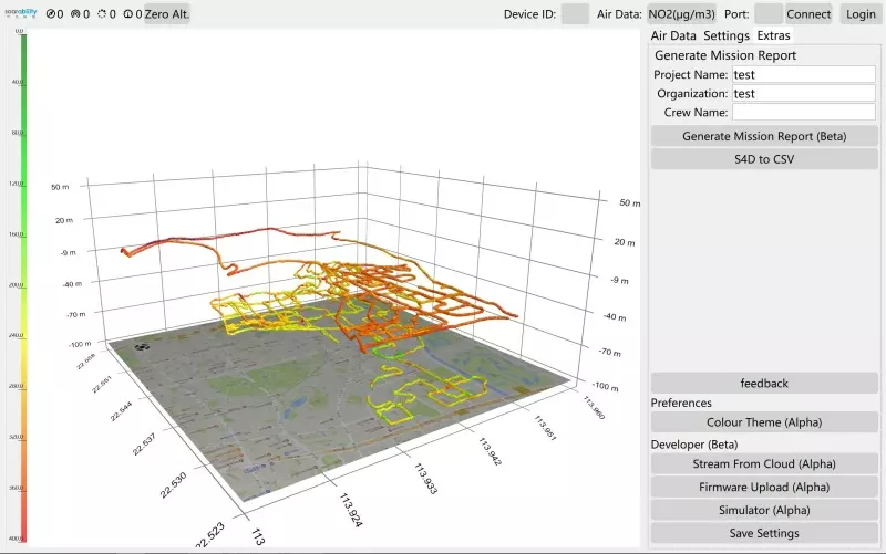
Harnessing the benefits of aerial data capture allows large areas to be scanned quickly and sufficient amounts of data to be captured for comprehensive analysis of the air quality at the location. The spatial distribution of detected particles and pollutants can be visually represented in a 2D map and 3D model of the area clearly showing concentration levels across the entire area at different elevations.
The data collected can be used for environmental monitoring, gas leak detection, emission releases, and chemical release monitoring.
Leak Detection Survey for Oil & Gas Facilities
O&G facilities and distribution pipeline networks of gas firms can benefit from drone-based methane detection. Every economic model has inherent constraints, therefore it is impossible to patch every leak in a natural gas facility or infrastructure. Although it comes at a cost and does not completely describe the source’s possible emissions, remote aerial drone surveys can be used to discover gas leaks. Finding affordable ways to quickly locate and identify methane leaks is a key area of attention for the methane industry. The top contenders are aerial-based surveys using specialised drone payloads.
Stay Safe with a Methane Detection Survey
Methane Gas Pollution Data
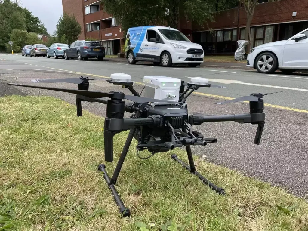
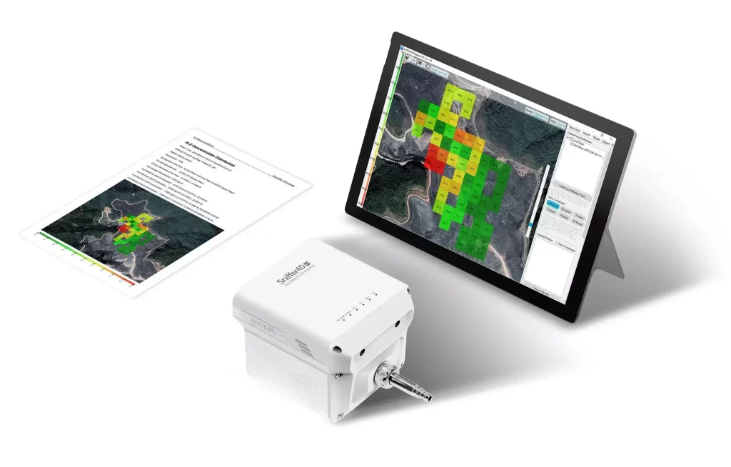
Using drones and the cutting-edge Sniffer4D payload for aerial methane gas leak detection surveys. This allows us to provide an in-depth report with visual mapping of your building or site. This toolkit allows us to collect, analyze and get results on-site instantly after the survey is completed. In some circumstances, we need more time to generate a report from the collected data.
Collecting Methane Gas Pollution Data
Our pilots will fly above the location while the Sniffer4D payload scans the atmosphere. The data is then uploaded to the cloud, where it is organised and divided into sections based on characteristics like gas density and spread.
It can identify more dangerous gases and airborne particles, and it has a big database of various air contaminants. For more information on this kind of drone survey, visit our page on air pollution and air quality survey.