


One service, several combined, or the whole building
A measured survey creates an accurate record of a building or site as it exists today. It isn’t one fixed product. Depending on your project, it can be a single survey service or several brought together, captured on one visit and delivered as one coordinated set of information.
On its own
Just need one thing? Each of our measured services can be ordered individually.
Combined
Pick the services you need and we’ll capture them together, tied to the same survey control.
Full measured building survey
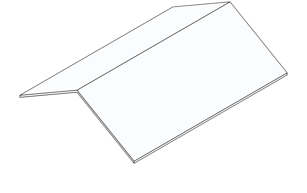
Everything inside and out: floor plans, elevations, sections, roof plans and a model if you need one.
Different capture methods, one set of data
We choose the right mix of capture methods for your project, then register everything into one coordinated dataset. That’s what lets internal, external, roof and site information line up.
01Capture
02Register
point cloud
All capture is aligned and checked, so every output comes from the same accurate record.
03Deliver
Tell us what you need, we’ll show you how it fits together
Tick the outputs you’re after. We’ll show which survey services and capture methods are involved, and you can send the list straight to us for a quote.
What do you need?
Building drawings
Models & data
Land & site
Level of detail
Not sure? That’s fine. We’ll recommend the right level, so you don’t pay for detail you won’t use. See what each level means.
Pick what you need
Your survey summary will build here as you tick options.
Survey services involved
How we’d capture it
Typical deliverables
This is a guide. We’ll confirm the best approach, accuracy and level of detail before we quote.
The building blocks of a measured survey
Each of these can be ordered on its own, or combined as part of a wider measured survey.
Topographical Surveys
Levels, contours, boundaries and site features, mapped by drone with survey control.
CAD & Revit Drawings
Floor plans, elevations, sections and roof plans in AutoCAD, or a full Revit model.
Point Clouds
Registered LiDAR and drone point clouds, ready to measure or model from.
3D Modelling
Textured 3D models of buildings and sites, viewable online or in your own software.
Digital Twins
3D building models combined with internal 360° scans for a complete virtual record.
Volumetric Surveys
Accurate stockpile and earthworks volumes from drone mapping.
Signage Surveys
Measured records and condition imagery of signs at height, without access equipment.
Not sure what you need?
Tell us about your project and how the information will be used. We’ll recommend the right combination.
Talk to our team →How clients put their surveys together
A few examples of how our services combine for common projects.
Planning an extension
An architect needs accurate existing drawings to design around.
- Services
- CAD drawings + Topographical survey
- Outputs
- Floor plans, elevations, roof plan, site levels
Refurbishment or retrofit
A design team working in Revit on an occupied building.
- Services
- Point clouds + Revit model
- Outputs
- Registered point cloud, Revit model at LOD 300
Buying or developing land
A developer assessing a site before design work starts.
- Services
- Topographical survey + 3D modelling
- Outputs
- Topo in CAD, contours, 3D site model
Estate and portfolio records
A property team with missing or out-of-date drawings.
- Services
- CAD drawings + Digital twins
- Outputs
- Floor plans and virtual tours for every building
Only pay for the detail you need
The level of detail (LOD) depends on how the drawings or model will be used. Lower levels suit feasibility and space planning, while detailed design and BIM coordination need more. Choosing the right level keeps costs down, speeds up turnaround and stops CAD or Revit files becoming more complex than your project needs.
When is a measured survey required?
Planning, extensions & alterations
Accurate plans, elevations and dimensions so architects can design around the existing building.
Refurbishment & retrofit
Existing layouts, levels, openings and geometry, so work is planned around the building as it really is.
Revit & BIM projects
Point clouds and Revit models that give design teams a coordinated existing-building record.
Asset & property management
New or updated records where drawings are missing or out of date, for maintenance and space planning.
Commercial portfolios
Offices, industrial, retail, residential blocks and public estates, with consistent drawing standards across every site.
Higher-risk buildings
Up-to-date plans and elevations can form part of the golden thread of information. A measured survey supports this record, but doesn’t by itself demonstrate compliance with the Building Safety Act.
Planned around how the data will be used
The accuracy you need depends on what the information is for. Before we attend site, we agree:
- The accuracy and level of detail required
- The coordinate system, where data needs to sit on real-world coordinates
- Survey control and ground control points
- Drawing standards and final file formats
For guidance on accuracy and detail, see the RICS Measured surveys of land, buildings and utilities guidance note.
How much does a measured survey cost?
It depends on the size and complexity of the building or site, the number of floors, access, the areas surveyed and the outputs you need. Projects range from data capture or a point cloud only, to full packages of drawings and Revit models.
To quote, we’ll need:
- The property address
- Approximate size and number of floors
- Any existing plans (helpful, not essential)
- The outputs and level of detail you need
Frequently asked questions
If yours isn’t covered here, give us a call on 0345 017 5592.
Can I order just one of these services?
Yes. Every measured survey service can be ordered on its own. If you need more than one, we’ll capture them together on the same visit, so the data lines up.
How accurate is a measured survey?
It depends on how the information will be used. Survey control and ground control points can be used where greater accuracy is needed, and we agree accuracy requirements before capture.
How do I know what level of detail I need?
The right LOD depends on how the drawings or model will be used. Tell us about your project and we’ll recommend a level that avoids unnecessary modelling, time and cost.
Can internal, external and roof data be combined?
Yes. We combine LiDAR, drone data and survey control to create one coordinated record of internal areas, elevations and roofs.
Do I need a measured building survey or a topographical survey?
A measured building survey records the building itself, while a topographical survey records the land, levels and external site features. Many projects need both, and we can capture them together.
Do I need existing drawings?
No. Existing drawings are helpful but not essential. We regularly survey buildings where plans are missing, out of date or inaccurate.
Can you survey an occupied building?
Yes. Surveys can usually be carried out in occupied buildings, with access and working arrangements planned beforehand to minimise disruption.
Tell us about your project
Send us the address, what you need and how the information will be used. We’ll recommend the right combination of services and come back with a clear quotation.