

Land Developers: Get the Truth from Above with Drone Site Surveys
Land Developers

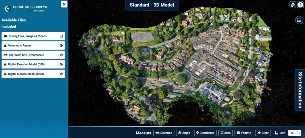
When you are making decisions worth millions, “good enough” data is never enough. Drone Site Surveys provides land developers with high-resolution aerial images and accurate data transformed into decision-ready outputs you can measure, share and trust. Using the latest drone technology and advanced photogrammetry, we create a detailed 3D model of your site, complete with […]

Photogrammetry or LiDAR: Which is Best for External Envelope Building Modelling
Photogrammetry or LiDAR: Whish is Best for Building Envelope Modelling

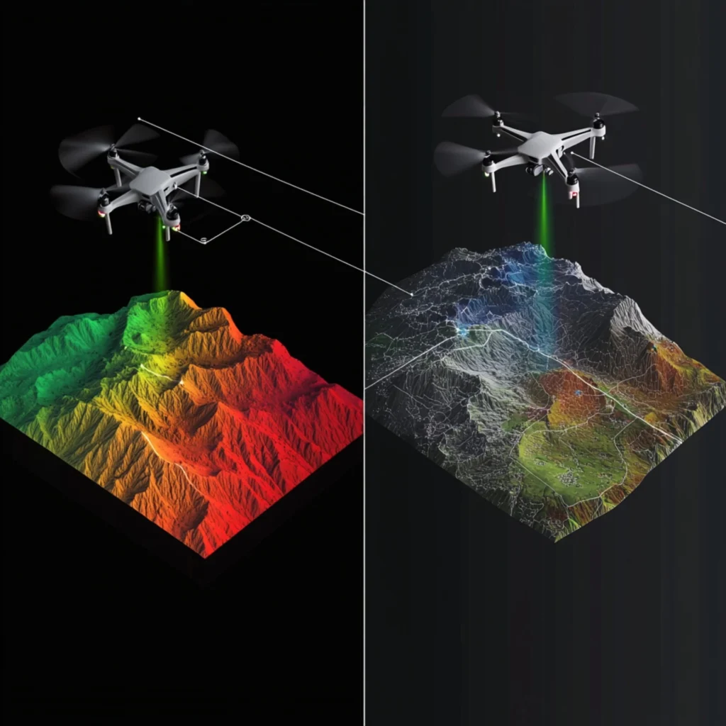
In aerial surveying, professionals often compare photogrammetry with LiDAR (Light Detection and Ranging). Both methods can produce accurate and reliable data, but how do they differ for external envelope building scanning? As Chief Pilot at Drone Site Surveys, I have worked with both methods frequently. This text covers common questions, clarifies key points, and offers […]

What is a Topographical Survey?
Topographic Surveys

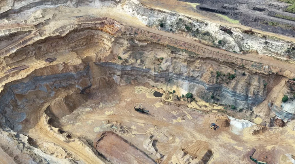
A topographical survey is a detailed survey that maps the physical features of a piece of land. This type of survey is commonly used in construction, engineering, and land development projects, as it provides detailed information about the land’s topography, including the location of natural and man-made features such as buildings, roads, rivers, and hills. […]

Get a free quote

We will usually respond within 2 hours.

This form works without JavaScript: four short steps, then Send enquiry.

Your details

Who should we send the quote to?

Are you a company or an individual? *
Leave this empty if you are an individual.
The site details on step 3 are for the first property; we quote them all together.

What do you need?

Tap the service you want. Not sure? Leave them all - you can tell us on the next step.

Other services (8 more)

Tap any service you need and we will come back to you with a price.

The site

Where is the property we are surveying?

The postcode of the site itself, not your office.
Do you need us within 7 days? (optional)

Nearly done

That is all we need - press Send and we will come back to you with a quote.

Upload a site plan or redline drawing (optional)

A few details are still missing - please finish the boxes marked * on:

1. Your details3. The site

Drone Site Surveys Ltd - your details are used only to answer this enquiry.

See what you get

View an example survey

See exactly what you would receive, before you book.

  • The secure online portal your team would use
  • Roof and façade imagery, organised by section
  • A surveyor's condition report with RAG ratings
  • An interactive 3D model you can measure from
LIVEExample surveysLink sent to your inbox straight away
For procurement and H&S teams

Get our compliance pack

The documents you need to approve us as a supplier, in one place.

  • CAA Operational Authorisation
  • Public liability insurance, £10 million
  • Professional indemnity insurance, £1 million
  • Constructionline Gold, SSIP and SafeContractor certificates
  • Example risk assessment and method statement
PDFCompliance packLink sent to your inbox straight away

The quote form is taking a while to load. Open the simple form, call 0345 017 5592 or email info@dronesitesurveys.co.uk.