


What Are Drone Bridge Inspections and Why Are They Essential?
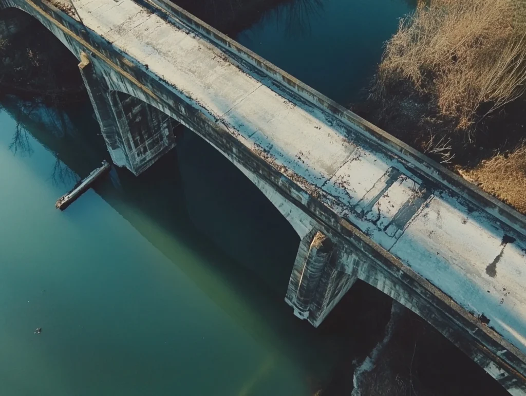
For public safety and quick transportation, keeping bridges in excellent shape is very important. In the past, inspecting bridges took a lot of work, cost a lot of money, and was sometimes dangerous. However, technological advancements have revolutionized the process of conducting inspections. A new technology, drone bridge inspections, is revolutionizing infrastructure management by enhancing […]
Annual Transparency Statement 2024
Introduction Drone Site Surveys Ltd is committed to operating as a socially responsible organisation, ensuring that modern slavery, human trafficking, and other forms of exploitation have no place within our business operations or supply chains. This statement highlights the actions undertaken in the past year to uphold our values, as outlined in the Modern Slavery […]
How Does Photogrammetry Work? A Guide to Aerial and Ground Techniques
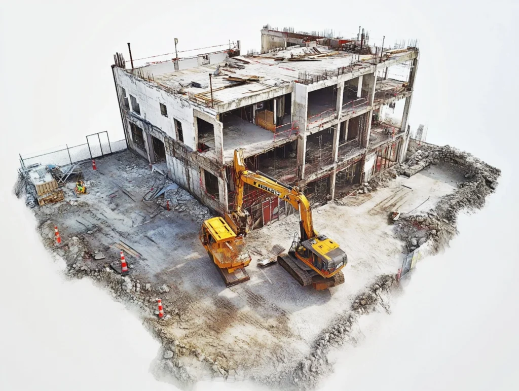
We use the scientific method of photogrammetry to measure objects’ distances, sizes, and spatial dimensions. Photogrammetry aerial uses overlapping images to create accurate 2D and 3D models of objects and places in the real world. This method is useful in many fields, like construction, surveying, and archaeology, where accurate spatial data is important. As technology […]
Who Invented Photogrammetry? Tracing the Origins of this Powerful Mapping Technique
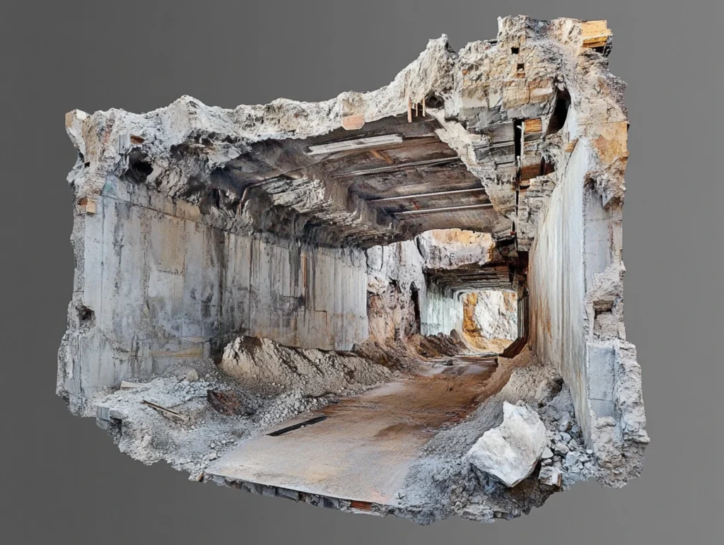
These days, photogrammetry is highly significant in a wide range of fields, such as archaeology, mapping, and surveying. However, where did this method originate, and who were the primary contributors to its development? To truly appreciate the extent to which this potent mapping technique has advanced, we must trace the steps taken by those who […]
The Future of Drone Cameras: What Advancements Can We Expect by 2030?

In the past ten years, drones have changed a lot, especially when it comes to camera technology. Drones, from taking simple pictures from above to producing high-definition pictures, have revolutionised industries such as surveying, filmmaking, and environmental monitoring. We expect that the improvements in drone cameras in 2030 will be nothing short of revolutionary. The […]
360-Degree Drone Cameras: The Future of Immersive Aerial Photography

From its modest origins, cutting-edge technology has propelled aerial photography into a sophisticated field. The popularity of 360-degree drone cameras has grown quickly in recent years, making it one of the most exciting technological advances. By giving us more immersive views and opening up new opportunities in many areas, these cameras are changing the way […]
How Camera Drones Were Invented: Changing the Face of Aerial Photography
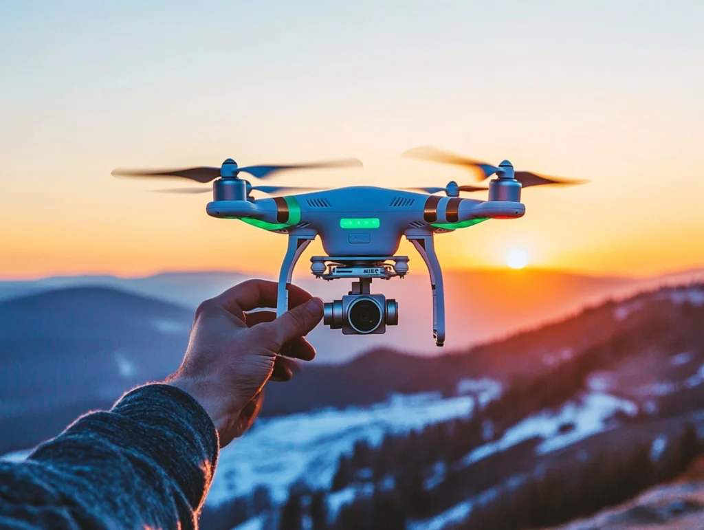
There have been many big changes in the world of photography, but the invention of camera drones is one of the most important ones. Once only professional photographers could do what they do, now hobbyists, filmmakers, and even businesses in many fields can. Camera drones have made new things possible by letting people take pictures […]
Exploring the Different Types of Drones: From Recreational to Commercial UAVs
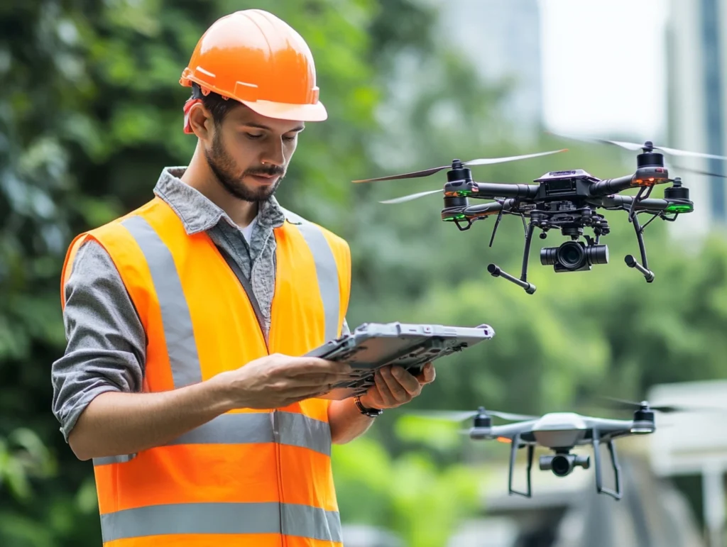
Since their invention, drones, also known as unmanned aerial vehicles, or UAVs, have advanced significantly. They were once only available for military use, but they have evolved into multipurpose tools that are now available for both private and public use. The lines separating these categories are growing more hazy as drone technology advances, opening up […]
Who Invented the Drone: The Journey from Concept to Reality
Drones have become an important part of modern life. Filmmaking, farming, and emergency assistance are among the many uses of drones. Unmanned aerial vehicles (UAVs), or drones, have come a long way thanks to new ideas, military needs, and big steps forward in technology. However, where did the idea for drones originate, and who was […]
The Evolution of Measured Surveys: New Frontiers in Building Surveying
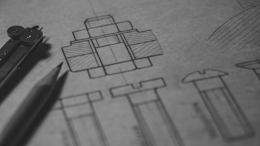
In recent years, building surveying has undergone a significant transformation, driven by technological advancements and shifting client expectations. Traditionally, measured surveys have been the foundation of any construction project, delivering precise spatial data critical for planning, design, and construction. However, as technology evolves, so do the tools and methods used in these surveys, bringing both […]