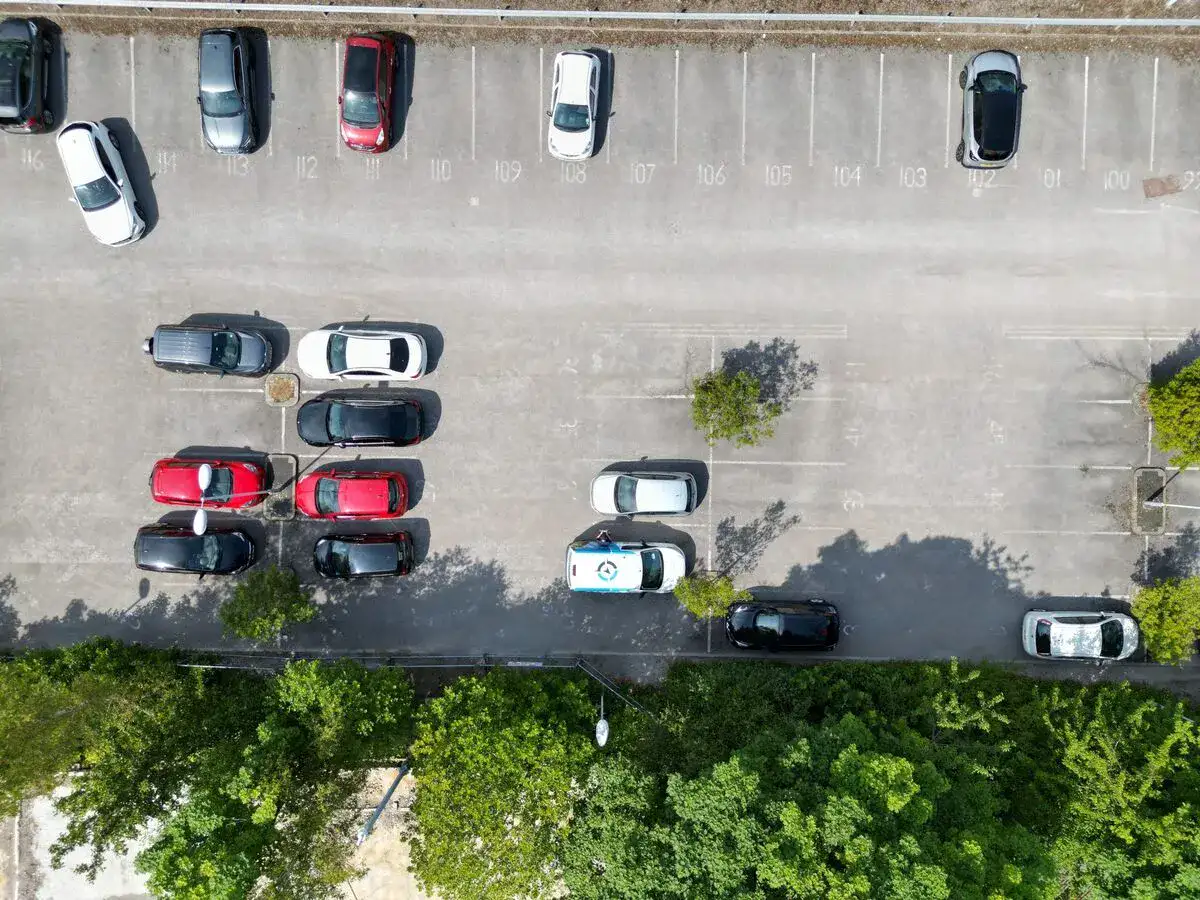
The algorithm we use was created by academics to visually analyse car park images and process the data collected.
Different from traditional detection or segmentation-based counting techniques, the proposed counting method is density estimation based.
Previously, before UAVs, the traditional counting cars to collect data method was predominantly by fixed surveillance-style cameras. This type of data collection is very limited due to the Field of View of the cameras. To build the statistics of occupancy information, we fly the UAV many times periodically throughout a determined time frame.
All images contain geolocation data, along with time and date stamps. The picture analysis shows the percentage of individual car spaces occupied up to 10 decimal places. With this information, we can determine how many times the car space has been occupied throughout the timed data collection giving a highly accurate data-driven analysis. This capture allows the creation of detailed and accurate heat maps.
Benefits of Analysing Car Park Occupancy Data
Capturing and analysing data about visitors can allow for a fuller understanding of how long they typically stay at your car park. This information can be applied to implement a more efficient management strategy.
Through analysis, you will be able to identify when you have free spaces or when your site is at its maximum occupancy. Once you have this information, your team can make strategic management decisions that can directly impact your customer’s user experience and your bottom line.
How you can Maximise Car Park Revenue
From tackling parking abuse to generating extra revenue, analysing the collected data will give you insights that will allow you to implement an effective short and long-term car parking strategy.
If your car parks have underused spaces, you can leverage this data in planning applications. Revenue-generating partners can then optimise your available areas effectively, maximising space usage and boosting your income potential.
You can use this data in several practical ways. For example, by identifying quieter periods, you can introduce targeted, time-specific offers. These promotions attract more customers precisely when you need them, helping to balance usage throughout the day.
Don’t miss out on exploring our drone services page! Whether you’re looking to enhance your business operations, conduct aerial surveys or inspections, or need specialised services like thermal imaging, Drone Site Surveys has you covered. Take a moment to visit our car park data collection page to learn more about how our expert team can assist you in achieving your goals.