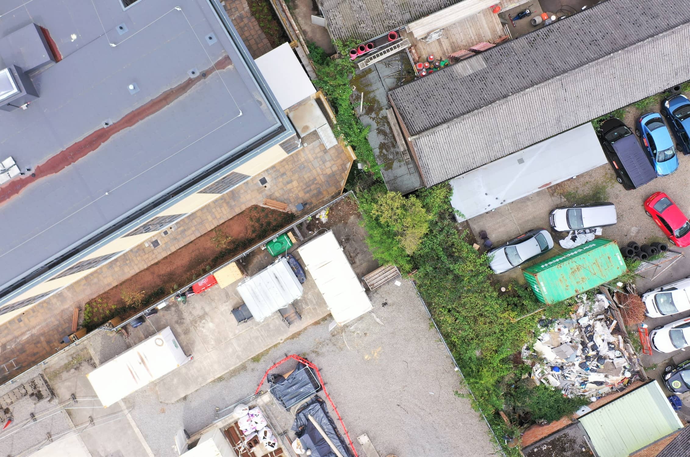

Building Site Progress Surveys are tailor-made to be carried out by drones. With aerial visuals, progress, or lack of is easy to see. With regular flyovers, all stakeholders can be easily updated, saving time, money and health and safety instances from site visitors.
Whether a residential or commercial site, a regular aerial survey can identify stockpile movement, trench excavations, and general building progress to name but a few items.
The Laws around Drone Surveying
A full list of the rules and regulations surrounding the use of drones in the UK can be found on the CAA Website here. All Drone Site Surveys pilots are fully compliant, and regularly keep up to date with the rapidly changing regulations. UAV’s have recommended distances that our pilots always adhere to. Horizontally the drone should be no more than 500m or 1640ft away from the pilot, vertically 121m or 400ft above ground level. Pilots can go further afield but must provide compelling evidence that all safety aspects have been considered and managed.
Information that can be taken from an Aerial Survey
The technology surrounding aerial photography and photogrammetry seems to be updated on an almost daily basis. Our technical team is almost obsessive about keeping up with the regular movement in the tech/aerial/photogrammetry sectors.
Whether you want to monitor or measure stockpiles and their movements during the earthworks phase of construction or measure how deep any trenches are cut, we can accurately supply that information.
If your project is using BIM or CAD, we can export directly into these programs. Using Ground Control Points we can get highly accurate results that can be directly overlaid onto your BIM or Cad models to monitor the accuracy of your construction workers.
Measure Area, Distance and Elevations
Using the drone footage aligned with the photogrammetry software, we can accurately measure areas, distances and elevations, quickly. Tasks that could take surveyors hours, days or even weeks can now be completed promptly and without fuss. We can even share the pilot’s viewpoint (First Person View) to allow a surveyor to direct towards areas of interest, or even stream live the drone’s cameras.
If you would like to explore how Drone Site Surveys experienced pilots or RICS Surveyors could help you measure the progress of your site, then give us a call or send us an email and we’ll call you back to discuss.